Casteel
Casteel | |
|---|---|
| Maboke | |
 Casteel  Casteel | |
| Coordinates: 24°43′29″S 31°01′12″E / 24.7247°S 31.0201°E | |
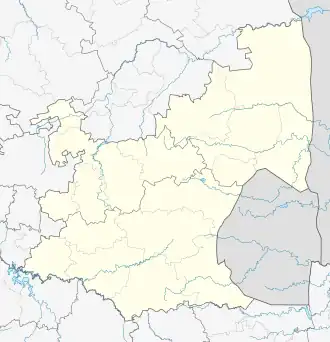
| Country | South Africa |
| Province | Mpumalanga |
| District | Ehlanzeni |
| Municipality | Bushbuckridge |
| • Ward 14 Councillor | (ANC) |
| Area | |
• Total | 13.58 km2 (5.24 sq mi) |
| Population (2011)[1] | |
• Total | 12,752 |
| • Density | 940/km2 (2,400/sq mi) |
| Racial makeup (2011) | |
| • Black African | 99.8% |
| • Indian/Asian | 0.1% |
| First languages (2011) | |
| • Northern Sotho | 68.8% |
| • Tsonga | 24.8% |
| • Swazi | 1.8% |
| • Sotho | 1.4% |
| • Other | 3.2% |
| Time zone | UTC+2 (SAST) |
| Postal code (street) | 1370 |
| PO box | 1370 |
Casteel is a town in Ehlanzeni District Municipality in the Mpumalanga province of South Africa. The legal name was changed to Maboke in 2008. Maboke is place consisting of Mapulana (whom speak Sepulana ) and Tsonga people. There is a proud culture of Dikoma (initiation school) which takes place during the winter times, during the months of June to August annually, and is a place where young boys are taught the cultural and roots of the Mapulana people.[2]
References
- ^ a b c d "Main Place Casteel". Census 2011.
- ^ "Approved names, September 2000 – January 2010". Department of Arts and Culture, Government of South Africa. October 2010. Archived from the original (.xls) on 22 September 2011.
Municipalities and communities of Ehlanzeni District Municipality, Mpumalanga | ||
|---|---|---|
District seat: Nelspruit (Mbombela) | ||
| Mbombela | .svg.png) | |
| Nkomazi | ||
| Thaba Chweu | ||
| Bushbuckridge |
| |