Castilenti
Castilenti | |
|---|---|
| Comune di Castilenti | |
Location of Castilenti | |
 Castilenti Location of Castilenti in Italy 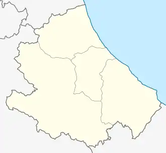 Castilenti Castilenti (Abruzzo) | |
| Coordinates: 42°32′N 13°55′E / 42.533°N 13.917°E | |
| Country | Italy |
| Region | Abruzzo |
| Province | Teramo (TE) |
| Frazioni | Casabianca, Colle della Morte, Vicenne, Villa San Romualdo |
| Area | |
• Total | 23 km2 (9 sq mi) |
| Elevation | 272 m (892 ft) |
| Population (1 January 2007)[2] | |
• Total | 1,615 |
| • Density | 70/km2 (180/sq mi) |
| Demonym | Castilentesi |
| Time zone | UTC+1 (CET) |
| • Summer (DST) | UTC+2 (CEST) |
| Postal code | 64035 |
| Dialing code | 0861 |
| ISTAT code | 067014 |
| Patron saint | Santa Vittoria |
| Saint day | 23 December |
| Website | Official website |
Castilenti (locally Castilinde) is a town and comune in Teramo province in the Abruzzo region of eastern Italy.
References
- ^ "Superficie di Comuni Province e Regioni italiane al 9 ottobre 2011". Italian National Institute of Statistics. Retrieved 16 March 2019.
- ^ All demographics and other statistics from the Italian statistical institute (Istat)