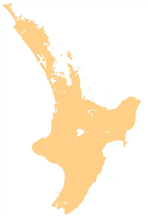
Castle Island, New Zealand
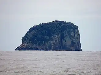 Castle Island as seen from Hot Water Beach | |
 Castle Island | |
| Geography | |
|---|---|
| Location | Coromandel Peninsula |
| Coordinates | 36°52′8″S 175°53′23″E / 36.86889°S 175.88972°E |
| Area | 0.02 km2 (0.0077 sq mi) |
| Length | 0.2 km (0.12 mi) |
| Width | 0.1 km (0.06 mi) |
| Highest elevation | 59 m (194 ft) |
| Highest point | Ponui |
| Administration | |
| Demographics | |
| Population | 0 |
Castle Island is a small uninhabited island 6 kilometres (3.7 mi) off the coast of Hot Water Beach on the Coromandel Peninsula, New Zealand.[1]
References
- ^ "Castle Island, Waikato – NZ Topo Map". NZ Topo Map. Land Information New Zealand. Retrieved 12 June 2018.
Wikimedia Commons has media related to Castle Island, New Zealand.