Castledale
Castledale | |
|---|---|
 Sign for Castledale | |
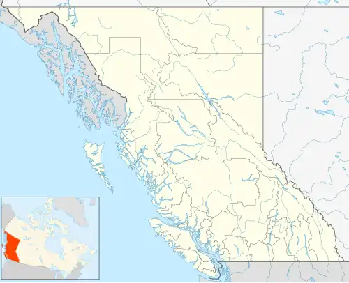 Castledale Location of Castledale in British Columbia | |
| Coordinates: 51°1′15″N 116°31′30″W / 51.02083°N 116.52500°W | |
| Country | |
| Province | |
| Region | Columbia Valley |
| Regional District | Columbia-Shuswap |
| Time zone | UTC-7 (MST) |
| • Summer (DST) | UTC-6 (MDT) |
| Area codes | 250, 778 |
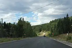
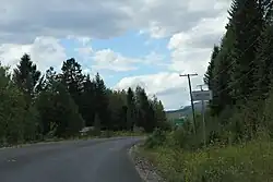
Castledale is an unincorporated community in the Columbia-Shuswap Regional District region of British Columbia. It is located along the Upper Columbia River between Parson and Spillamacheen.[1] British Columbia Highway 95 passes through the community.[2]
References
- ^ "BC Geographical Names". BC Geographical Names database. Retrieved April 16, 2016.
- ^ "Location of Castledale, BC". Google Maps. Retrieved March 16, 2016.