Cattle Creek, Colorado
Cattle Creek, Colorado | |
|---|---|
 Location of the Cattle Creek CDP in Garfield County, Colorado. | |
 Cattle Creek Location of Cattle Creek, Colorado. 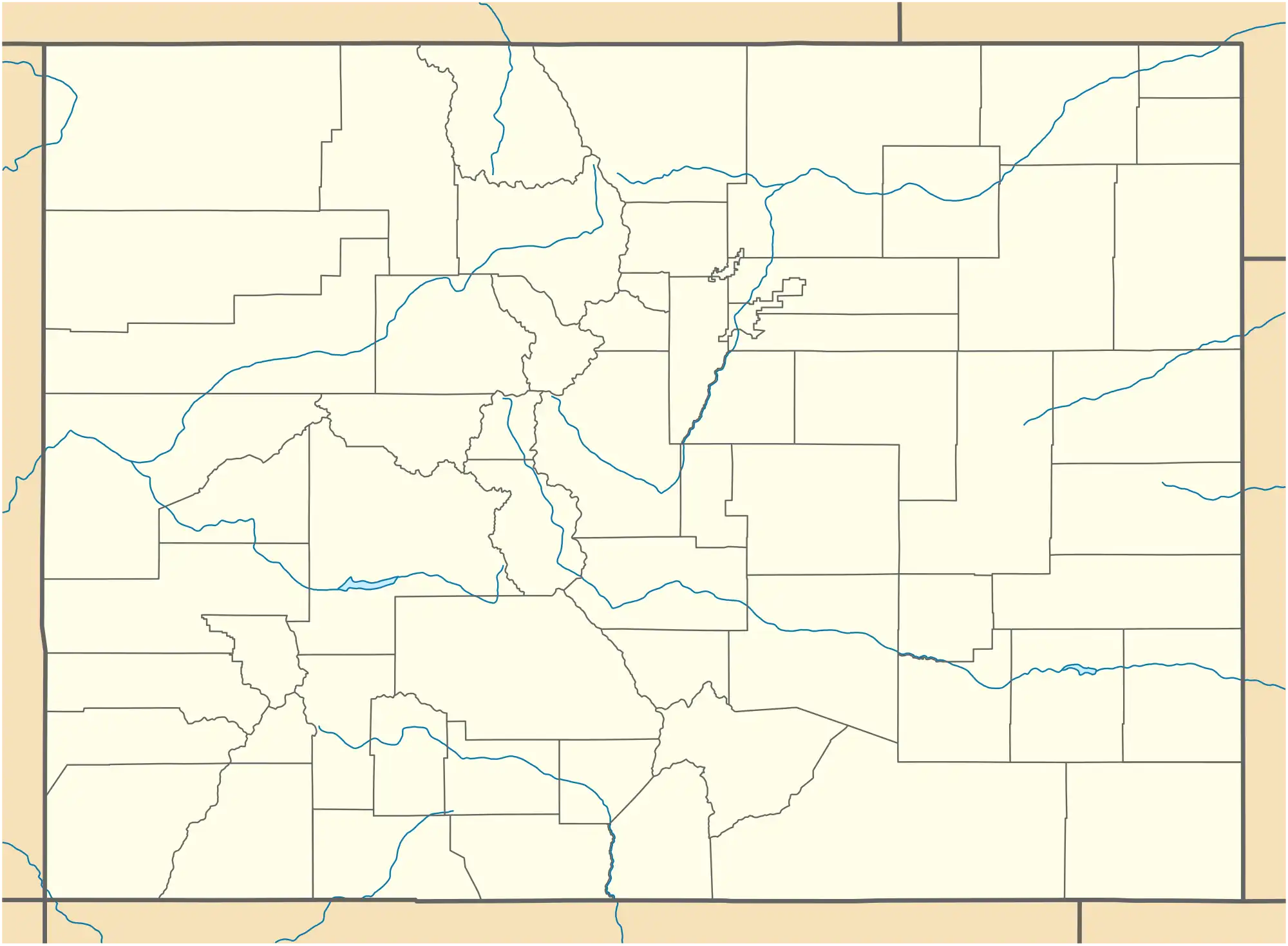 Cattle Creek Cattle Creek (Colorado) | |
| Coordinates: 39°27′30″N 107°15′45″W / 39.4583°N 107.2626°W[2] | |
| Country | United States |
| State | Colorado |
| County | Garfield[1] |
| Government | |
| • Type | unincorporated community |
| • Body | Garfield County[1] |
| Area | |
• Total | 1.295 sq mi (3.355 km2) |
| • Land | 1.295 sq mi (3.355 km2) |
| • Water | 0.000 sq mi (0.000 km2) |
| Elevation | 6,040 ft (1,840 m) |
| Population | |
• Total | 662 |
| • Density | 510/sq mi (200/km2) |
| Time zone | UTC−07:00 (MST) |
| • Summer (DST) | UTC−06:00 (MDT) |
| ZIP code[5] | Glenwood Springs 81601 |
| Area codes | 970/748 |
| GNIS pop ID | 174822 |
| GNIS CDP ID | 2583221 |
| FIPS code | 08-12470 |
Cattle Creek is an unincorporated community and a census-designated place (CDP) located in southeastern Garfield County, Colorado, United States. The CDP is a part of the Rifle, CO Micropolitan Statistical Area. The population of the Cattle Creek CDP was 662 at the United States Census 2020.[4] The Glenwood Springs post office (Zip Code 81601) serves the area.[5]
Geography
The CDP is located in southeastern Garfield County along Colorado State Highway 82 in the valley of the Roaring Fork River. Cattle Creek, a tributary of the Roaring Fork, forms the southern edge of the CDP. Highway 82 leads north 7 miles (11 km) to Glenwood Springs, the county seat, and south 6 miles (10 km) to Carbondale.
The Cattle Creek CDP has an area of 829 acres (3.355 km2), all land.[3]
Demographics
| Year | Pop. | ±% |
|---|---|---|
| 2010 | 641 | — |
| 2020 | 662 | +3.3% |
| Source: United States Census Bureau | ||
The United States Census Bureau initially defined the Cattle Creek CDP for the United States Census 2010.
See also
- Rifle, CO Micropolitan Statistical Area
- Edwards-Rifle, CO Combined Statistical Area
- List of census-designated places in Colorado
- List of populated places in Colorado
References
- ^ a b "Colorado Counties". Colorado Department of Local Affairs. Retrieved June 4, 2025.
- ^ a b "Cattle Creek, Colorado". Geographic Names Information System. United States Geological Survey, United States Department of the Interior. Retrieved June 4, 2025.
- ^ a b "State of Colorado Census Designated Places - BAS20 - Data as of January 1, 2020". United States Census Bureau. Retrieved December 22, 2020.
- ^ a b United States Census Bureau. "Cattle Creek CDP, Colorado". Retrieved April 16, 2023.
- ^ a b "ZIP Code Lookup". United States Postal Service. Retrieved June 4, 2025.
External links
Municipalities and communities of Garfield County, Colorado, United States | ||
|---|---|---|
| Cities |  | |
| Towns | ||
| CDPs | ||
| Unincorporated communities | ||
| Ghost town | ||