Cedar Grove, Mississippi
Cedar Grove, Mississippi | |
|---|---|
 Cedar Grove Baptist Church | |
 Cedar Grove, Mississippi  Cedar Grove, Mississippi | |
| Coordinates: 32°20′57″N 89°11′09″W / 32.34917°N 89.18583°W | |
| Country | United States |
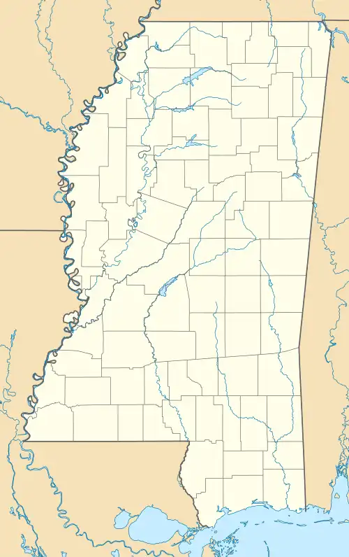
| State | Mississippi |
| County | Newton |
| Elevation | 466 ft (142 m) |
| Time zone | UTC-6 (Central (CST)) |
| • Summer (DST) | UTC-5 (CDT) |
| Area codes | 601 & 769 |
| GNIS feature ID | 705455[1] |
Cedar Grove is an unincorporated community in Newton County, Mississippi, United States.[1]
The community is located along an east-west trending ridge between Dunnagin Creek to the north and Richardson Mill Creek to the south. Newton lies approximately two miles to the southeast.[2]
References
- ^ a b c U.S. Geological Survey Geographic Names Information System: Cedar Grove, Mississippi
- ^ Newton, MS, 7.5 Minute Topographic Quadrangle, USGS, 1966 (1982 rev.)
Municipalities and communities of Newton County, Mississippi, United States | ||
|---|---|---|
| Cities |  | |
| Towns | ||
| CDPs | ||
| Other unincorporated communities | ||
| Ghost towns | ||
| Indian reservation | ||
| Footnotes | ‡This populated place also has portions in an adjacent county or counties | |