Cedar Mountain, Virginia
| Cedar Mountain | |
|---|---|
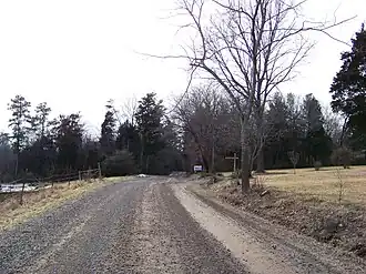 Along Cedar Mountain near Rapidan | |
| Highest point | |
| Elevation | 814 ft (248 m)Mountainzone |
| Prominence | 400 ft (120 m) |
| Coordinates | 38°22′10″N 78°04′17″W / 38.36944°N 78.07139°W |
| Geography | |
| Location | Culpeper County, Virginia, U.S. |
| Parent range | Piedmont Monadnock |
| Topo map | USGS Culpeper |
| Climbing | |
| Easiest route | Hike |
Cedar Mountain, also known as Slaughter Mountain, is a piedmont monadnock in Culpeper County, Virginia. The 800 feet (240 m) ridge is 7 miles (11 km) south of the town of Culpeper and just to the northwest of the northern tip of the Southwest Mountains at Clark Mountain. The mountain was used as a signal mountain by confederate troops during the Civil War. Remnants of that fortification are still visible today.