Cerro Bandera
| Cerro Bandera | |
|---|---|
 Cerro Bandera | |
| Highest point | |
| Elevation | 610 m (2,000 ft) |
| Coordinates | 54°57′46″S 67°38′07″W / 54.9629°S 67.6354°W |
| Naming | |
| English translation | Flag Hill |
| Language of name | Spanish |
| Geography | |
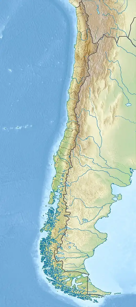
| Location | Navarino Island, Region of Magallanes and Chilean Antarctic, |
| Geology | |
| Mountain type | Hill |
| Climbing | |
| Access | Puerto Williams |
The Cerro Bandera is a hill located on Navarino Island, is visible from Puerto Williams and its top is a flag of Chile, takes about 3 hours to travel back and forth. It is also the first stop to continue the circuit Dientes de Navarino.[1]
See also
References