Cerro Polapi
| Polapi | |
|---|---|
 Polapi Chile | |
| Highest point | |
| Elevation | 5,960 m (19,550 ft) |
| Prominence | 1,070[1] m (3,510 ft) |
| Parent peak | Palpana |
| Coordinates | 21°38′53.51″S 068°23′36.23″W / 21.6481972°S 68.3933972°W |
| Geography | |
| Parent range | Chilean Andes, Andes |
| Climbing | |
| First ascent | Not confirmed |
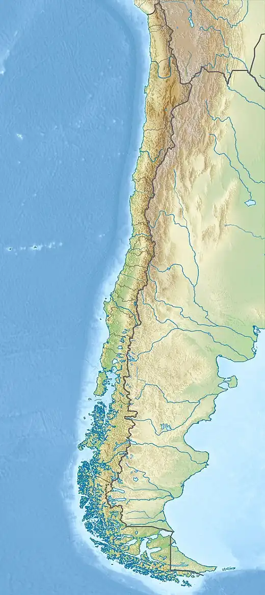
Polapi is a peak in Chile[2] with an elevation of 5,960 metres (19,554 ft) metres,[3] at the Puna de Atacama region. It is located within the territory of the Chilean province of El Loa. Its slopes are within the administrative boundaries of two Chilean cities: Calama and Ollagüe.[3]
Elevation
Data from the digital elevation models TanDEM-X yields the 5988 metre elevation.[4] The height of the nearest key col is 4890 meters, leading to a topographic prominence of 1070 meters.[5] Polapi is considered a Mountain Massif according to the Dominance System [6] and its dominance is 17.95%. Its parent peak is Palpana and the Topographic isolation is 17.5 kilometers.[5]
References
- ^ "Polapi". Andes Specialists. Retrieved 2020-04-12.
- ^ Biggar, John (2020). The Andes a guide for climbers (5th ed.). Castle Douglas, Scotland. ISBN 978-0-9536087-7-5. OCLC 1260820889.
{{cite book}}: CS1 maint: location missing publisher (link) - ^ a b rbenavente. "Biblioteca del Congreso Nacional | SIIT | Mapas vectoriales". bcn.cl. Retrieved 2020-04-30.
- ^ TanDEM-X, TerraSAR-X. "Copernicus Space Component Data Access". Archived from the original on 12 April 2020. Retrieved 12 April 2020.
- ^ a b "Polapi". Andes Specialists. Retrieved 2020-04-12.
- ^ "Dominance - Page 2". www.8000ers.com. Retrieved 2020-04-12.