Chetimari
Chetimari | |
|---|---|
Commune and village | |
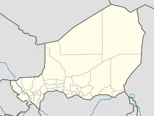 Chetimari Location in Niger | |
| Coordinates: 13°12′23″N 12°25′16″E / 13.20639°N 12.42111°E | |
| Country | |
| Region | Diffa Region |
| Department | Diffa Department |
| Area | |
• Total | 955 sq mi (2,474 km2) |
| Elevation | 925 ft (282 m) |
| Population (2012 census) | |
• Total | 65,449 |
| • Density | 69/sq mi (26/km2) |
| Time zone | UTC+1 (WAT) |
Chetimari is a large village and rural commune in Niger, located along National Highway 1, several kilometres north of the Nigerian border.[1] As of 2011, the commune had a population of 65,449.[2]
References
- ^ Loi n° 2002-014 du 11 JUIN 2002 portant création des communes et fixant le nom de leurs chefs-lieux. Includes list of 213 communes rurales and seats, 52 Communes urbaines and seats
- ^ "Niger: Municipal Division (Departments and Communes) - Population Statistics, Charts and Map". www.citypopulation.de. Retrieved 2024-02-17.