Chakwath
Chakwath
Chakwāth | |
|---|---|
Village | |
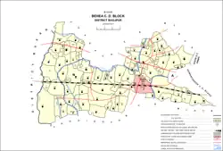 Map of Chakwath (#184) in Behea block | |
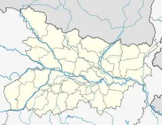 Chakwath Location in Bihar, India  Chakwath Chakwath (India) | |
| Coordinates: 25°32′31″N 84°24′47″E / 25.54201°N 84.41319°E[1] | |
| Country | India |
| State | Bihar |
| District | Bhojpur |
| Area | |
• Total | 0.482 km2 (0.186 sq mi) |
| Elevation | 68 m (223 ft) |
| Population (2011) | |
• Total | 4,964[2] |
| Languages | |
| • Official | Bhojpuri, Hindi |
| Time zone | UTC+5:30 (IST) |
Chakwath is a village in Bihiya block of Bhojpur district, Bihar, India. As of 2011, its population was 4,964, in 760 households.[2]
References
- ^ a b "Geonames.org. Chakwāth". Retrieved 18 August 2020.
- ^ a b c "Census of India 2011: Bihar District Census Handbook - Bhojpur, Part A (Village and Town Directory)". Census 2011 India. pp. 436–475. Retrieved 18 August 2020.