Champwood, West Virginia
Champwood | |
|---|---|
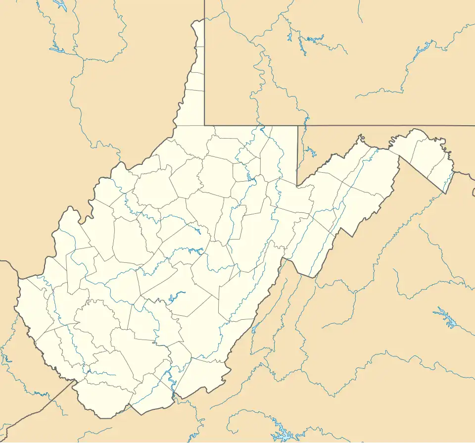 Champwood Location within the state of West Virginia  Champwood Champwood (the United States) | |
| Coordinates: 39°26′36″N 78°49′09″W / 39.44333°N 78.81917°W | |
| Country | United States |
| State | West Virginia |
| County | Mineral |
| Elevation | 637 ft (194 m) |
| Time zone | UTC-5 (Eastern (EST)) |
| • Summer (DST) | UTC-4 (EDT) |
| GNIS feature ID | 1554107[1] |
Champwood is an unincorporated community on Patterson Creek in Mineral County, West Virginia, United States. It is part of the 'Cumberland, MD-WV Metropolitan Statistical Area'. Champwood lies along West Virginia Route 46.
The name is a portmanteau of Champ Clark and Woodrow Wilson, who were, respectively, an early settler and the U.S. President.[2]
References
- ^ a b U.S. Geological Survey Geographic Names Information System: Champwood, West Virginia
- ^ Kenny, Hamill (1945). West Virginia Place Names: Their Origin and Meaning, Including the Nomenclature of the Streams and Mountains. Piedmont, WV: The Place Name Press. p. 163.
Municipalities and communities of Mineral County, West Virginia, United States | ||
|---|---|---|
| City |  | |
| Towns | ||
| CDPs | ||
| Other localities |
| |
| Ghost towns | ||
| Footnotes | ‡This populated place also has portions in an adjacent county or counties | |