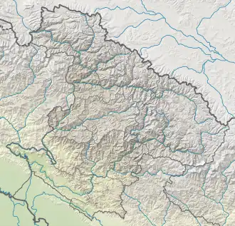
Changla
| Changla | |
|---|---|
.jpg) range Changla Himal, lake Rapgye Tso (from ISS) | |
| Highest point | |
| Elevation | 6,721 m (22,051 ft)[1] |
| Prominence | 1,657 m (5,436 ft)[1] |
| Listing | Ultra |
| Coordinates | 30°08′15″N 82°11′45″E / 30.13750°N 82.19583°E[1] |
| Geography | |
 Changla Location in Nepal, on the border with China 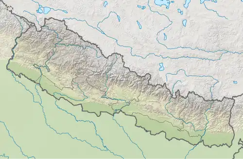 Changla Changla (Nepal)  Changla Changla (China) | |
| Location | China–Nepal border |
| Parent range | Himalayas |
Changla is a mountain in the Himalayas of Asia. It has a summit elevation of 6,721 metres (22,051 ft) above sea level and is located on the international border between Nepal and Tibet, China.
See also
References
- ^ a b c "High Asia II: Himalaya of Nepal, Bhutan, Sikkim and adjoining region of Tibet". Peaklist.org. Retrieved 2015-02-16.
External links
![]() Media related to Changla Himal at Wikimedia Commons
Media related to Changla Himal at Wikimedia Commons