Charlton, Maryland
Charlton, Maryland | |
|---|---|
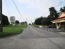 Looking south along Dam 5 Road | |
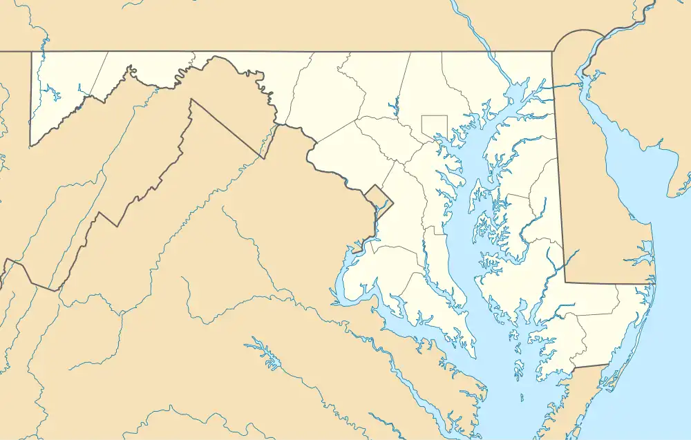 Charlton, Maryland  Charlton, Maryland | |
| Coordinates: 39°38′04″N 77°53′40″W / 39.63444°N 77.89444°W | |
| Country | |
| State | |
| County | |
| Area | |
• Total | 0.16 sq mi (0.42 km2) |
| • Land | 0.16 sq mi (0.42 km2) |
| • Water | 0.00 sq mi (0.00 km2) |
| Elevation | 476 ft (145 m) |
| Population (2020) | |
• Total | 166 |
| • Density | 1,018.40/sq mi (392.10/km2) |
| Time zone | UTC−5 (Eastern (EST)) |
| • Summer (DST) | UTC−4 (EDT) |
| Area codes | 301, 240 |
| GNIS feature ID | 2583597[2] |
Charlton is an unincorporated community and census-designated place in Washington County, Maryland, United States. Its population was 171 as of the 2010 census.[3]
Geography
According to the U.S. Census Bureau, the community has an area of 0.163 square miles (0.42 km2), all land.[3]
Demographics
| Census | Pop. | Note | %± |
|---|---|---|---|
| 2020 | 166 | — | |
| U.S. Decennial Census[4] | |||
References
- ^ "2020 U.S. Gazetteer Files". United States Census Bureau. Retrieved April 26, 2022.
- ^ a b U.S. Geological Survey Geographic Names Information System: Charlton, Maryland
- ^ a b "2010 Census Gazetteer Files - Places: Maryland". U.S. Census Bureau. Retrieved February 11, 2017.
- ^ "Census of Population and Housing". Census.gov. Retrieved June 4, 2016.
