Charmoille, Switzerland
Charmoille | |
|---|---|
Location of Charmoille | |
 Charmoille 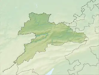 Charmoille | |
| Coordinates: 47°25′N 07°12′E / 47.417°N 7.200°E | |
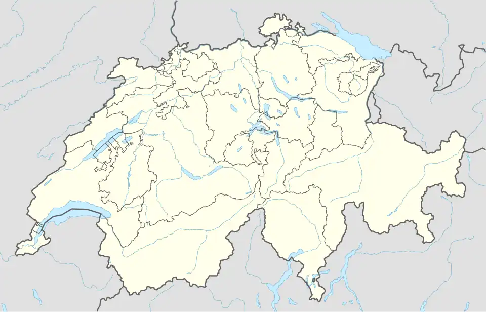
| Country | Switzerland |
| Canton | Jura |
| District | Porrentruy |
| Area | |
• Total | 92 km2 (36 sq mi) |
| Elevation | 515 m (1,690 ft) |
| Population (2003) | |
• Total | 340 |
| • Density | 3.7/km2 (9.6/sq mi) |
| Time zone | UTC+01:00 (Central European Time) |
| • Summer (DST) | UTC+02:00 (Central European Summer Time) |
| Postal code(s) | 2947 |
| SFOS number | 809 |
| ISO 3166 code | CH-JU |
| Surrounded by | Pleigne, Pleujouse, Fregiécourt, Miécourt, Levoncourt(F), Oberlarg(F), Lucelle(F) |
| Website | SFSO statistics |
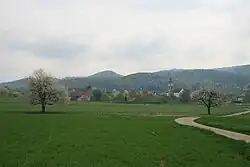
Charmoille is a village and a former municipality in the district of Porrentruy in the canton of Jura in Switzerland. On 1 January 2009 it became part of the new municipality of La Baroche.
References
External links
- Charmoille, Switzerland in German, French and Italian in the online Historical Dictionary of Switzerland.
Wikimedia Commons has media related to Charmoille.