Chemmannar
Chemmannar | |
|---|---|
Village | |
 | |
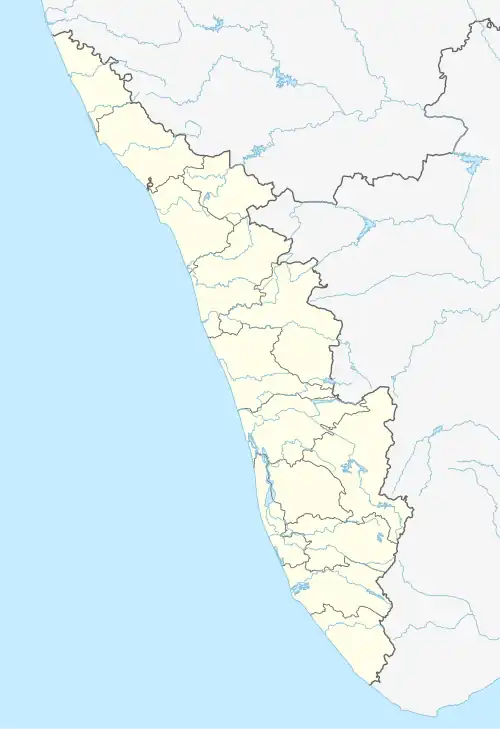 Chemmannar Location in Kerala, India  Chemmannar Chemmannar (India) | |
| Coordinates: 9°50′35″N 77°09′07″E / 9.843°N 77.1519°E | |
| Country | |
| State | Kerala |
| District | Idukki |
| Government | |
| • Type | Panchayath |
| • Body | Udumbanchola grama panchayath |
| Area | |
• Total | 51.95 km2 (20.06 sq mi) |
| Population (2011) | |
• Total | 9,969 |
| • Density | 160/km2 (400/sq mi) |
| Languages | |
| • Official | Malayalam, English |
| Time zone | UTC+5:30 (IST) |
| PIN | 685554, 685566 |
| Telephone code | 04868 |
| Vehicle registration | KL-69, KL-37 |
| Nearest cities | Kattappana, Nedumkandam, Adimaly, Rajakad Kumily |
| Climate | cold climate which may come down to 5c (Köppen) |
| Website | www.lsgkerala.in/nedumkandamblock |
Chemmannar is a village in the High ranges of Idukki district, Kerala, India.
Geography
Places adjacent to Chemmannar | ||||||||||||||||
|---|---|---|---|---|---|---|---|---|---|---|---|---|---|---|---|---|
| ||||||||||||||||
References
Wikimedia Commons has media related to Chemmannar.
