Cheruvathur
Cheruvathur | |
|---|---|
Town | |
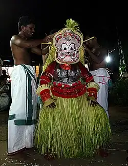 Pottan Theyyam at Cheruvathur | |
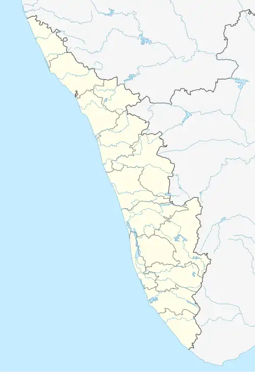 Cheruvathur Location in Kerala, India  Cheruvathur Cheruvathur (India) | |
| Coordinates: 12°12′56″N 75°09′45″E / 12.2155977°N 75.1624288°E | |
| Country | |
| State | Kerala |
| District | Kasaragod |
| Government | |
| • Body | Cheruvathur Grama Panchayat |
| Area | |
• Total | 18.37 km2 (7.09 sq mi) |
| Population (2011)[1] | |
• Total | 27,435 |
| • Density | 1,500/km2 (3,900/sq mi) |
| Languages | |
| • Official | Malayalam, English |
| Time zone | UTC+5:30 (IST) |
| PIN | 671313 |
Cheruvathur is a town and grama panchayat in the Kasaragod district, state of Kerala. It is located 41 km (25 mi) from the district headquarters Kasaragod.[2]
Transportation
Local roads have access to NH-66 which connects to Mangalore in the north and Kannur in the south. The nearest railway station is Cheruvathur on Mangalore-Palakkad line. There are airports at Mangalore and Kannur.
References
- ^ "Department of Panchayats - Government of Kerala". dop.lsgkerala.gov.in.
- ^ "Panchayats in Kasaragod".
External links
Wikimedia Commons has media related to Cheruvathur.
| Municipalities | |
|---|---|
| Taluks | |