Chesterfield, Staffordshire
| Chesterfield | |
|---|---|
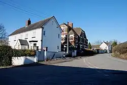 Houses in Chesterfield | |
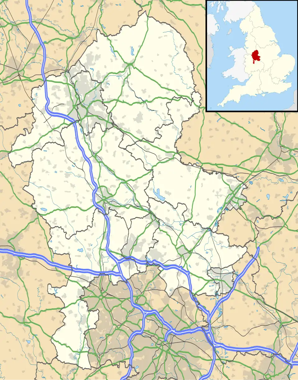 Chesterfield Location within Staffordshire | |
| OS grid reference | SK10120573 |
| Civil parish | |
| District | |
| Shire county | |
| Region | |
| Country | England |
| Sovereign state | United Kingdom |
| Post town | LICHFIELD |
| Postcode district | WS14 |
| UK Parliament | |
Chesterfield is a hamlet in the civil parish of Wall, in the Lichfield district, in the county of Staffordshire, England.[1][2]
Geography
Chesterfield is northwest of the village of Shenstone and southeast of the city of Lichfield. It is close to the M6 motorway toll road just to the north.[2][3]
Population
In 1870–72, the hamlet had a population of 133.[4]
References
- ^ "The Hamlet of Chesterfield". Streetlist. UK. Retrieved 1 April 2014.
- ^ a b "Chesterfield Area Information, Staffordshire, England". Towns, Counties, Postcodes, UK: Information about UK towns, counties & postcodes. UK. Retrieved 1 April 2014.
- ^ "Chesterfield, Lichfield". UK: Ordnance Survey. Retrieved 1 April 2024.
- ^ "Descriptive Gazetteer Entry for Chesterfield". A Vision of Britain through Time. Retrieved 1 April 2024.
External links
Wikimedia Commons has media related to Chesterfield, Staffordshire.