Chinati, Texas
Chinati, Texas | |
|---|---|
Unincorporated community | |
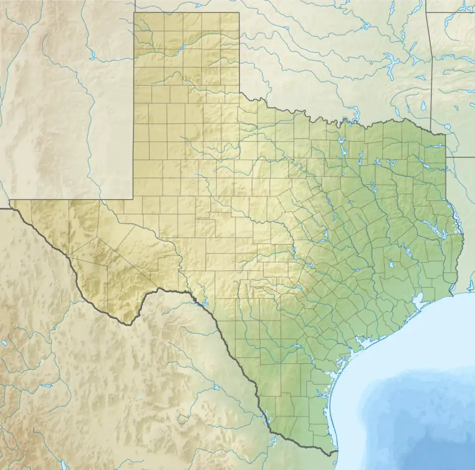 Chinati, Texas Location within Texas | |
| Coordinates: 29°49′27″N 104°36′21″W / 29.82417°N 104.60583°W | |
| Country | United States |
| State | Texas |
| County | Presidio |
| Elevation | 2,694 ft (821 m) |
| Time zone | UTC-6 (Central (CST)) |
| • Summer (DST) | UTC-5 (CDT) |
| ZIP codes | 79843 |
| Area code | 432 |
| GNIS feature ID | 2034438[1] |
Chinati is an unincorporated community in Presidio County, Texas, United States.
It is named after the surrounding Chinati Mountain Range.[2]
The word "chinati" derives from the Apache word ch'íná'itíh, which means gate or mountain pass.[3]
Education
Chinati is zoned to schools in the Presidio Independent School District.
References
- ^ a b U.S. Geological Survey Geographic Names Information System: Chinati, Texas
- ^ United States Geological Survey. Adobes, TX quadrangle, Chinati, Texas (Topographic map). Reston, VA: United States Geological Survey – via TopoQuest.
- ^ Smith, Julia Cauble. "Chinati, TX". TSHA Handbook of Texas Online. Texas State Historical Association.
Municipalities and communities of Presidio County, Texas, United States | ||
|---|---|---|
| Cities |  | |
| CDP | ||
| Other communities | ||
| Ghost towns | ||