Cirières
Cirières | |
|---|---|
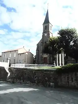 The church of Sainte-Radegonde | |
Location of Cirières | |
 Cirières  Cirières | |
| Coordinates: 46°50′16″N 0°37′11″W / 46.8378°N 0.6197°W | |
| Country | France |
| Region | Nouvelle-Aquitaine |
| Department | Deux-Sèvres |
| Arrondissement | Bressuire |
| Canton | Cerizay |
| Intercommunality | CA Bocage Bressuirais |
| Government | |
| • Mayor (2020–2026) | Jean-Baptiste Fortin[1] |
Area 1 | 16.83 km2 (6.50 sq mi) |
| Population (2022)[2] | 949 |
| • Density | 56/km2 (150/sq mi) |
| Time zone | UTC+01:00 (CET) |
| • Summer (DST) | UTC+02:00 (CEST) |
| INSEE/Postal code | 79091 /79140 |
| Elevation | 162–234 m (531–768 ft) |
| 1 French Land Register data, which excludes lakes, ponds, glaciers > 1 km2 (0.386 sq mi or 247 acres) and river estuaries. | |
Cirières (French pronunciation: [siʁjɛʁ], before 2002: Cirière)[3] is a commune in the Deux-Sèvres department in the Nouvelle-Aquitaine region in western France.
See also
References
- ^ "Répertoire national des élus: les maires". data.gouv.fr, Plateforme ouverte des données publiques françaises (in French). 2 December 2020.
- ^ "Populations de référence 2022" (in French). The National Institute of Statistics and Economic Studies. 19 December 2024.
- ^ Décret du 10 avril 2002 portant changement de nom de communes, Légifrance.
Wikimedia Commons has media related to Cirières.