Clarence A. Bain Airport
Clarence A. Bain Airport | |||||||||||
|---|---|---|---|---|---|---|---|---|---|---|---|
| Summary | |||||||||||
| Airport type | Public | ||||||||||
| Operator | Government | ||||||||||
| Location | Mangrove Cay, Andros Island, Bahamas | ||||||||||
| Elevation AMSL | 19 ft / 6 m | ||||||||||
| Coordinates | 24°17′16″N 077°41′05″W / 24.28778°N 77.68472°W | ||||||||||
| Map | |||||||||||
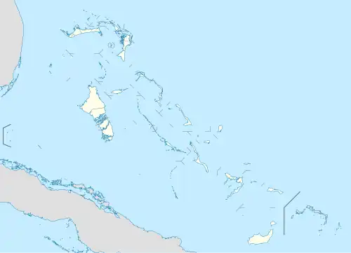 MYAB Location in The Bahamas | |||||||||||
| Runways | |||||||||||
| |||||||||||
Clarence A. Bain Airport (IATA: MAY, ICAO: MYAB) is an airport serving Mangrove Cay, one of the districts of the Bahamas, on Andros Island.[2]
Facilities
The airport resides at an elevation of 19 ft (5.8 m) above mean sea level. It has one runway designated 09/27 with an asphalt surface measuring 1,524 m × 23 m (5,000 ft × 75 ft).[1]
Airlines and destinations
| Airlines | Destinations |
|---|---|
| Flamingo Air | Nassau |
| LeAir | Nassau[3] |
References
- ^ a b "Airport information for MYAB". World Aero Data. Archived from the original on 2019-03-05. Data current as of October 2006. Source: DAFIF.
- ^ a b Airport information for MAY at Great Circle Mapper. Source: DAFIF (effective October 2006).
- ^ "Flight Schedule". www.flyleair.com. Retrieved 11 January 2022.
External links