Clemscott, Oklahoma
Clemscott, Oklahoma | |
|---|---|
 Clemscott  Clemscott | |
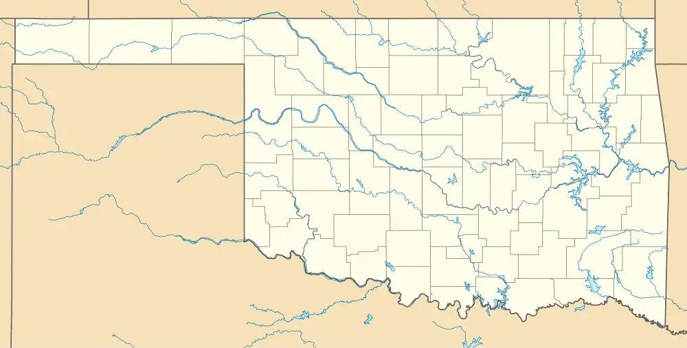
| Coordinates: 34°20′50″N 97°27′24″W / 34.34722°N 97.45667°W | |
| Country | United States |
| State | Oklahoma |
| County | Carter |
| Elevation | 938 ft (286 m) |
| Time zone | UTC-6 (Central (CST)) |
| • Summer (DST) | UTC-5 (CDT) |
| Area code | 580 |
| GNIS feature ID | 1091452[1] |
Clemscott (also known as Clemscot) is an unincorporated community in Carter County, Oklahoma, United States.[1] Clemscott is located on Oklahoma State Highway 53, 8.1 miles (13.0 km) north-northeast of Healdton.[2] The community once had a post office.[3]
Notes
- ^ a b "Clemscott". Geographic Names Information System. United States Geological Survey, United States Department of the Interior.
- ^ Carter County, Oklahoma General Highway Map (PDF) (Map). Oklahoma Department of Transportation. 2010. Retrieved January 9, 2012.
- ^ "Clemscot Post Office (historical)". Geographic Names Information System. United States Geological Survey, United States Department of the Interior.
Municipalities and communities of Carter County, Oklahoma, United States | ||
|---|---|---|
| Cities |  | |
| Towns | ||
| CDP | ||
| Other communities | ||
| Ghost towns | ||
| Indian reservation | ||
| Footnotes | ‡This populated place also has portions in an adjacent county or counties | |