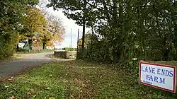
Common End, Derbyshire
| Common End | |
|---|---|
 Out Lane | |
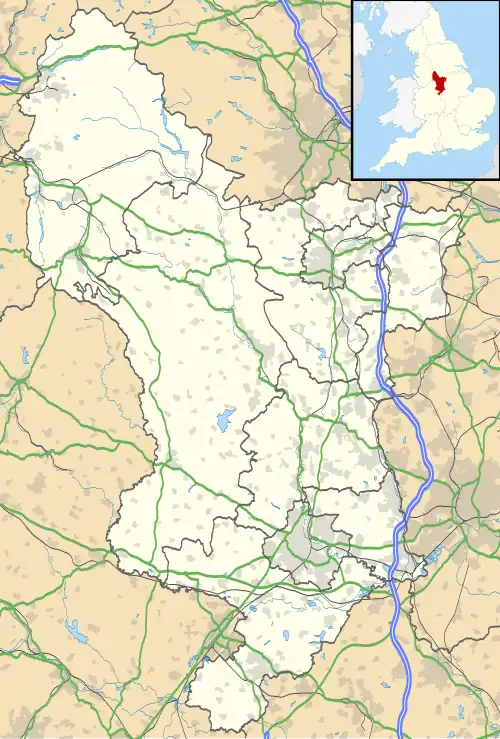 Common End Location within Derbyshire | |
| OS grid reference | SK440640 |
| Civil parish | |
| District | |
| Shire county | |
| Region | |
| Country | England |
| Sovereign state | United Kingdom |
| Post town | CHESTERFIELD |
| Postcode district | S44 |
| Police | Derbyshire |
| Fire | Derbyshire |
| Ambulance | East Midlands |
Common End is a place noted on an Ordnance Survey map of Derbyshire, England. It is located eight miles south-east of Chesterfield, and just north of Astwith.[1]
References
- ^ Common End, Ordnance Survey
- The geographic coordinates are from the Ordnance Survey.