Cookson, Oklahoma
Cookson, Oklahoma | |
|---|---|
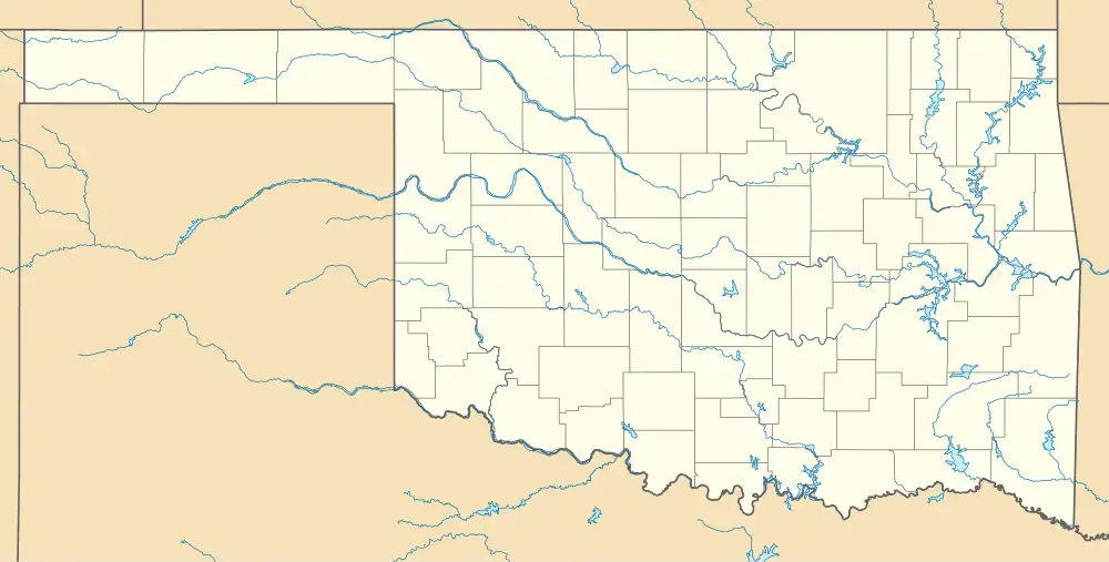 Cookson Location within the state of Oklahoma  Cookson Cookson (the United States) | |
| Coordinates: 35°42′56″N 94°55′11″W / 35.71556°N 94.91972°W | |
| Country | United States |
| State | Oklahoma |
| County | Cherokee |
| Area | |
• Total | 15.35 sq mi (39.74 km2) |
| • Land | 12.87 sq mi (33.34 km2) |
| • Water | 2.47 sq mi (6.41 km2) |
| Elevation | 853 ft (260 m) |
| Population (2020) | |
• Total | 826 |
| • Density | 64.17/sq mi (24.78/km2) |
| Time zone | UTC-6 (Central (CST)) |
| • Summer (DST) | UTC-5 (CDT) |
| ZIP codes | 74427 |
| Area code | (918) |
| FIPS code | 40-16950 |
| GNIS feature ID | 2805311[2] |
Cookson is a community and census-designated place in the Cookson Hills of Cherokee County, Oklahoma, United States. The population was 826 as of the 2020 Census.[3] The post office opened April 11, 1895. The ZIP Code is 74427. It is said to have been named for the first postmaster, John H. Cookson.
Demographics
| Census | Pop. | Note | %± |
|---|---|---|---|
| 2020 | 826 | — | |
| U.S. Decennial Census[4] | |||
Notes
- ^ "ArcGIS REST Services Directory". United States Census Bureau. Retrieved September 20, 2022.
- ^ a b U.S. Geological Survey Geographic Names Information System: Cookson, Oklahoma
- ^ "Cookson (CDP), Oklahoma". United States Census Bureau. Retrieved July 7, 2024.
- ^ "Census of Population and Housing". Census.gov. Retrieved June 4, 2016.
Sources
- Shirk, George H. Oklahoma Place Names. Norman: University of Oklahoma Press, 1987. ISBN 0-8061-2028-2 .
Municipalities and communities of Cherokee County, Oklahoma, United States | ||
|---|---|---|
| City |  | |
| Towns | ||
| CDPs | ||
| Other community | ||
| Indian reservation | ||
| Footnotes | ‡This populated place also has portions in an adjacent county or counties | |