Cossall
| Cossall | |
|---|---|
| Village and civil parish | |
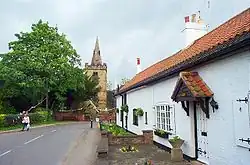 View towards St Catherine's Church, Cossall | |
Parish map | |
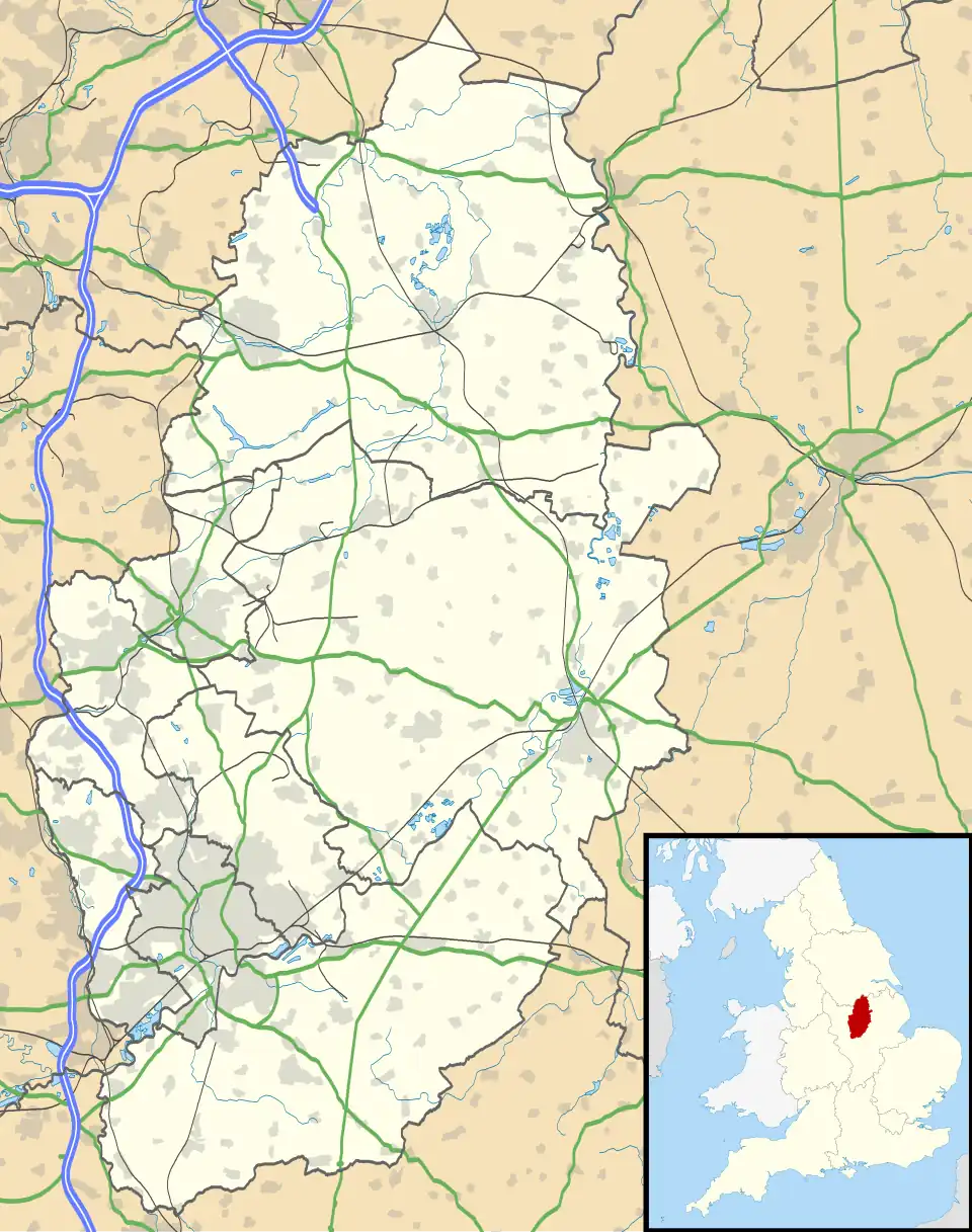 Cossall Location within Nottinghamshire | |
| Area | 2.07 sq mi (5.4 km2) |
| Population | 562 (2021 Census) |
| • Density | 271/sq mi (105/km2) |
| OS grid reference | SK 4842 |
| • London | 110 mi (180 km) SSE |
| District | |
| Shire county | |
| Region | |
| Country | England |
| Sovereign state | United Kingdom |
| Settlements |
|
| Post town | Nottingham |
| Postcode district | NG16 |
| Dialling code | 0115 |
| Police | Nottinghamshire |
| Fire | Nottinghamshire |
| Ambulance | East Midlands |
| UK Parliament | |
| Website | Cossall Parish Council |
Cossall /kɒʃəl/ is a village and civil parish 1 mile (1.6 km) east of Ilkeston in Nottinghamshire, England. The 2001 census recorded a parish population of 612,[1] reducing slightly to 606 at the 2011 census,[2] and further to 562 at the 2021 census.[3] There is also a ward of Broxtowe Council called Cossall and Kimberley. The population is listed under Kimberley. North of the hamlet is a slag heap formed of tons of waste extracted from local coal mines.
See also
References
- ^ "Area: Cossall CP (Parish)"
- ^ "Civil Parish population 2011". Neighbourhood Statistics. Office for National statistics. Retrieved 7 April 2016.
- ^ UK Census (2021). "2021 Census Area Profile – Cossall parish (E04007857)". Nomis. Office for National Statistics. Retrieved 25 January 2024.
Further reading
- Pevsner, Nikolaus (1951). Nottinghamshire. The Buildings of England. Harmondsworth: Penguin Books. p. 55.
External links
Wikimedia Commons has media related to Cossall.