Coyote Hills (Oregon)
| Coyote Hills | |
|---|---|
| Highest point | |
| Elevation | 1,119 m (3,671 ft) |
| Geography | |
| Country | United States |
| State | Oregon |
| District | Baker County |
| Range coordinates | 44°55′14.523″N 117°54′3.782″W / 44.92070083°N 117.90105056°W |
| Topo map | USGS Haines |
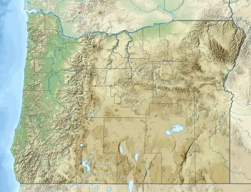
The Coyote Hills are a mountain range in Baker County, Oregon.[1]
References