Coyote Hills (Plumas County)
| Coyote Hills | |
|---|---|
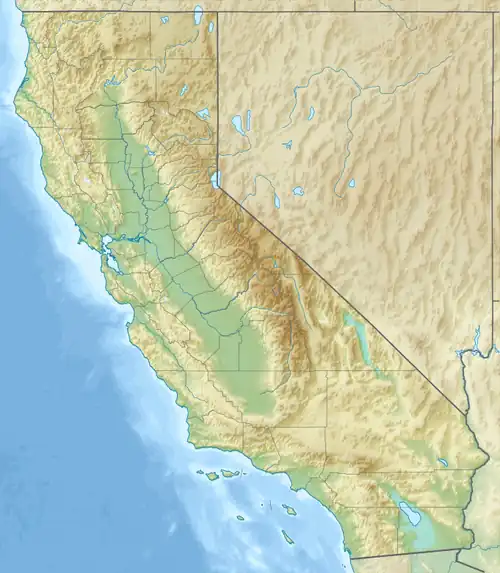 Coyote Hills Location of Coyote Hills in California[1] | |
| Highest point | |
| Elevation | 1,784 m (5,853 ft) |
| Geography | |
| Country | United States |
| State | California |
| District | Plumas County |
| Range coordinates | 39°58′43.641″N 120°26′4.774″W / 39.97878917°N 120.43465944°W |
| Topo map | USGS Crocker Mountain |
The Coyote Hills are a low mountain-hills range in Plumas County, California.[1]
References
- ^ a b "Coyote Hills". Geographic Names Information System. United States Geological Survey, United States Department of the Interior. Retrieved 2009-05-04.