Crane, Montana
Crane, Montana | |
|---|---|
 Crane, Montana | |
| Coordinates: 47°34′43″N 104°14′45″W / 47.57861°N 104.24583°W | |
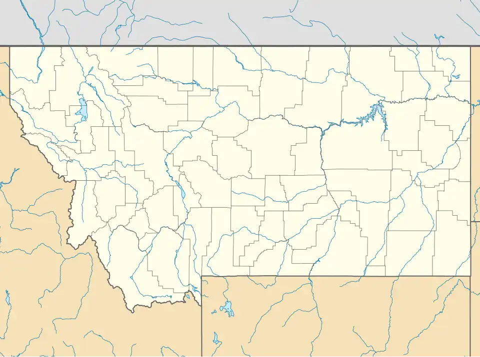
| Country | United States |
| State | Montana |
| County | Richland |
| Area | |
• Total | 2.53 sq mi (6.55 km2) |
| • Land | 2.52 sq mi (6.53 km2) |
| • Water | 0.01 sq mi (0.02 km2) |
| Elevation | 1,936 ft (590 m) |
| Population (2020) | |
• Total | 91 |
| • Density | 36.10/sq mi (13.94/km2) |
| Time zone | UTC-7 (Mountain (MST)) |
| • Summer (DST) | UTC-6 (MDT) |
| ZIP code | 59217 |
| Area code | 406 |
| GNIS feature ID | 2583803[2] |
Crane is a census-designated place and unincorporated community in Richland County, Montana, United States. Its population was 102 according to the 2010 census.[3] Crane has a post office with the ZIP code 59217.[4][5] Montana Highway 16 passes through Crane.
The town was named for trapper Jimmy Crain when the post office opened in 1910.[6]
Climate
According to the Köppen Climate Classification system, Crane has a semi-arid climate, which is abbreviated as "BSk" on climate maps.[7]
Demographics
| Census | Pop. | Note | %± |
|---|---|---|---|
| 2020 | 91 | — | |
| U.S. Decennial Census[8] | |||
References
- ^ "ArcGIS REST Services Directory". United States Census Bureau. Retrieved September 5, 2022.
- ^ a b U.S. Geological Survey Geographic Names Information System: Crane, Montana
- ^ "U.S. Census website". United States Census Bureau. Retrieved May 14, 2011.
- ^ United States Postal Service (2012). "USPS - Look Up a ZIP Code". Retrieved February 15, 2012.
- ^ "Postmaster Finder - Post Offices by ZIP Code". United States Postal Service. Archived from the original on April 28, 2019. Retrieved August 1, 2013.
- ^ "Crane". Montana Place Names Companion. Montana Historical Society. Retrieved April 2, 2021.
- ^ Climate Summary for Crane, Montana
- ^ "Census of Population and Housing". Census.gov. Retrieved June 4, 2016.
Municipalities and communities of Richland County, Montana, United States | ||
|---|---|---|
| City |  | |
| Town | ||
| CDPs | ||
| Other communities | ||
| Ghost town | ||
| Indian reservation | ||
| Footnotes | ‡This populated place also has portions in an adjacent county or counties | |