Crescent Bar, Washington
Crescent Bar, Washington | |
|---|---|
 | |
 Crescent Bar  Crescent Bar | |
| Coordinates: 47°12′30″N 119°59′58″W / 47.20833°N 119.99944°W | |
| Country | United States |
| State | Washington |
| County | Grant |
| Area | |
• Total | 1.88 sq mi (4.88 km2) |
| • Land | 1.01 sq mi (2.61 km2) |
| • Water | 0.88 sq mi (2.27 km2) |
| Elevation | 584 ft (178 m) |
| Population | 325 |
| Time zone | UTC-8 (Pacific (PST)) |
| • Summer (DST) | UTC-7 (PDT) |
| ZIP Code | 98848 (Quincy) |
| Area code | 509 |
| FIPS code | 53-15603 |
| GNIS feature ID | 2807179[2] |
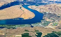
Crescent Bar is a resort area and census-designated place (CDP) in Grant County, Washington, United States. As of the 2020 census, it had a population of 325.[3]
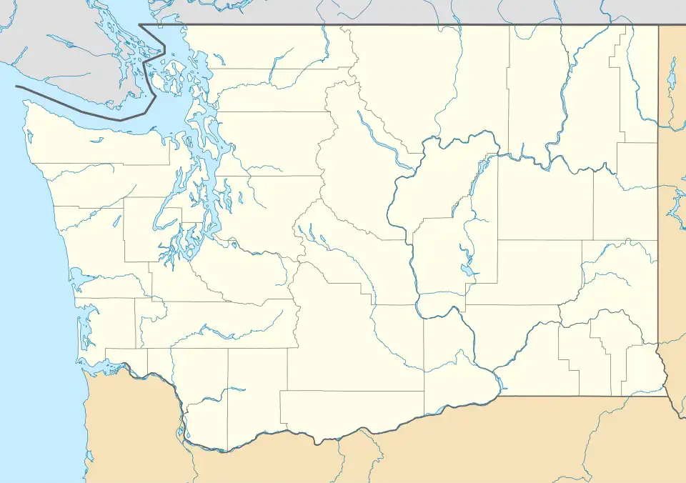
The CDP is on the western edge of the county, on the east side of the Columbia River. A portion of the community occupies an island (Crescent Bar) in the river. The community is 2 miles (3 km) south of Washington State Route 28 at Trinidad. SR 28 leads east 7 miles (11 km) to Quincy and northwest 24 miles (39 km) to Wenatchee.
References
- ^ "2020 U.S. Gazetteer Files – Washington". United States Census Bureau. Retrieved October 25, 2021.
- ^ a b U.S. Geological Survey Geographic Names Information System: Crescent Bar, Washington
- ^ a b "Crescent Bar CDP, Washington: 2020 DEC Redistricting Data (PL 94-171)". U.S. Census Bureau. Retrieved October 25, 2021.
External links
Municipalities and communities of Grant County, Washington, United States | ||
|---|---|---|
| Cities |  | |
| Towns | ||
| CDPs | ||
| Other communities | ||
| Ghost towns | ||
| Footnotes | ‡This populated place also has portions in an adjacent county or counties | |