Crown Hill Formation
| Crown Hill Formation | |
|---|---|
| Stratigraphic range: | |
| Type | Formation |
| Unit of | Musgravetown Group[1] |
| Underlies |
|
| Overlies | Rocky Harbour Formation[3] |
| Lithology | |
| Primary | Volcanic non-marine |
| Location | |
| Region | Newfoundland |
| Country | Canada |
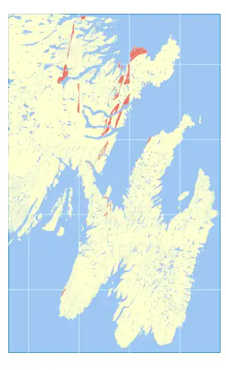 Occurrence in southeast Newfoundland | |
Crown Hill Formation is a late Ediacaran volcanic non-marine sedimentary formation in Newfoundland.[4] It's topped off with a bright red conglomerate, with silt and arkose sands of similar hue too.[5]
It's subdivided into nine facies, including (on Random Island) Brook Point, Duntara Harbour, Red Cliff (with Bluye Point Horizon subfacies') and Broad Head.[2] (on Cape St Mary's) Cross Pt Member, Hurricane Brook Mmbr[5]
References
- ^ "Newfoundland and Labrador Geoscience Atlas". geoatlas.gov.nl.ca.
- ^ a b Normore, L. S. 2012: GEOLOGY OF THE RANDOM ISLAND MAP AREA (Nts 2C/04), Newfoundland. Current Research (2012) Newfoundland and Labrador Department of Natural Resources Geological Survey Report 12-:121–145.
- ^ Liu, Alexander G.; Tindal, Benjamin H. (April 2021). "Ediacaran macrofossils prior to the ~580 Ma Gaskiers glaciation in Newfoundland, Canada". Lethaia. 54 (2): 260–270. doi:10.1111/let.12401.
- ^ "Mines and Energy - GeoFiles Search Results".
- ^ a b Fletcher, T. P. (2006). "Bedrock geology of the Cape St. Mary's Peninsula, southwest Avalon Peninsula, Newfoundland" (PDF). p. 117.