Crutchfield Crossroads, North Carolina
Crutchfield Crossroads, North Carolina | |
|---|---|
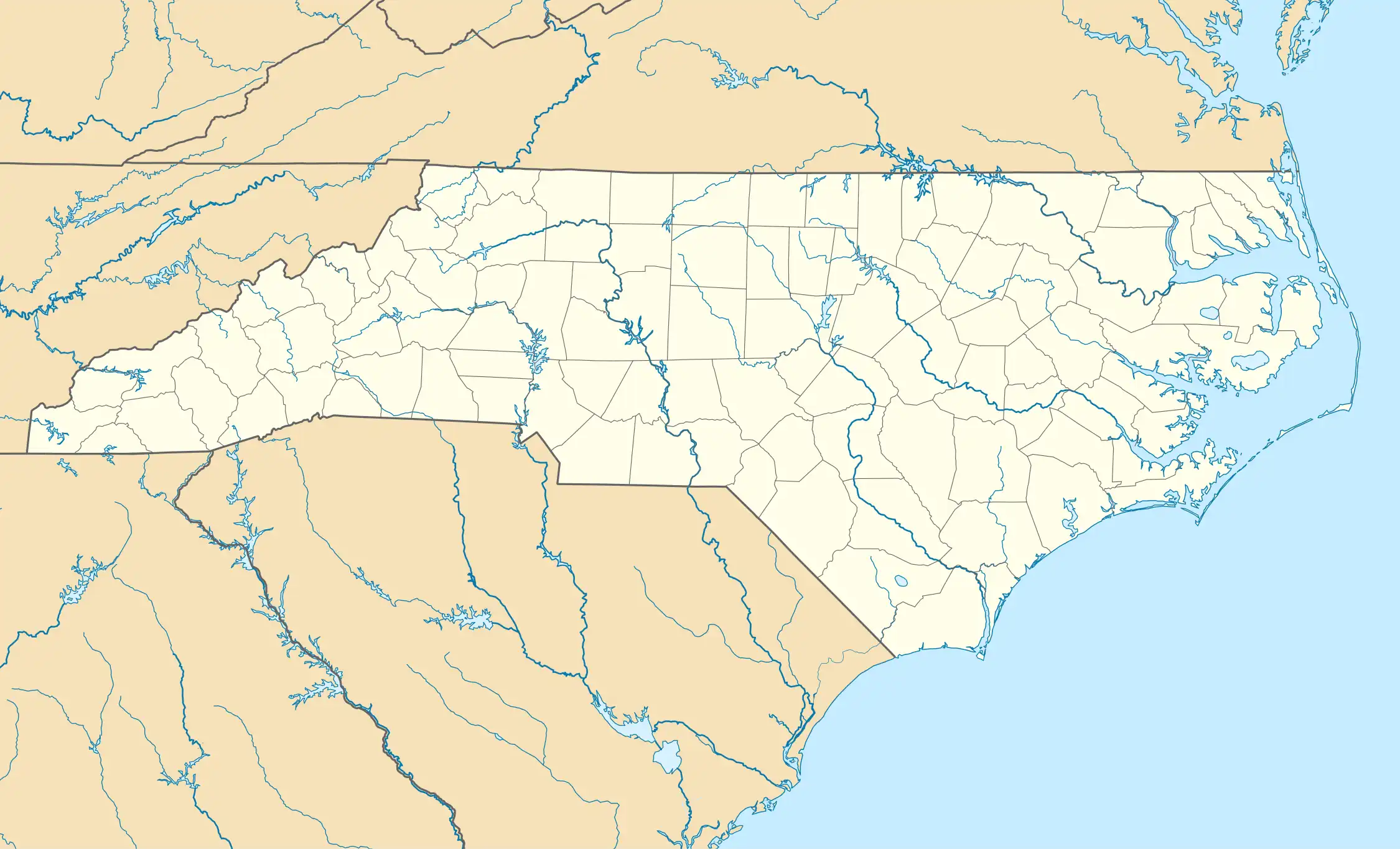 Location of Crutchfield Crossroads in North Carolina  Crutchfield Crossroads, North Carolina (the United States) | |
| Coordinates: 35°48′31″N 79°25′57″W / 35.80861°N 79.43250°W | |
| Country | United States |
| State | North Carolina |
| County | Chatham |
| Elevation | 627 ft (191 m) |
| Time zone | UTC-5 (Eastern (EST)) |
| • Summer (DST) | UTC-4 (EST) |
| GNIS feature ID | 985012[1] |
Crutchfield Crossroads is an unincorporated community in northwestern Chatham County, North Carolina, United States, north of Siler City. The Whitehead-Fogleman Farm there was listed on the National Register of Historic Places in 1985.[2]
References
- ^ a b U.S. Geological Survey Geographic Names Information System: Crutchfield Crossroads, North Carolina. Retrieved on 22 October 2008.
- ^ "National Register Information System". National Register of Historic Places. National Park Service. July 9, 2010.
Municipalities and communities of Chatham County, North Carolina, United States | ||
|---|---|---|
| Towns |  | |
| CDPs | ||
| Other communities | ||
| Footnotes | ‡This populated place also has portions in an adjacent county or counties | |
35°48′31″N 79°25′57″W / 35.80861°N 79.43250°W