Crystal Hills
| Crystal Hills | |
|---|---|
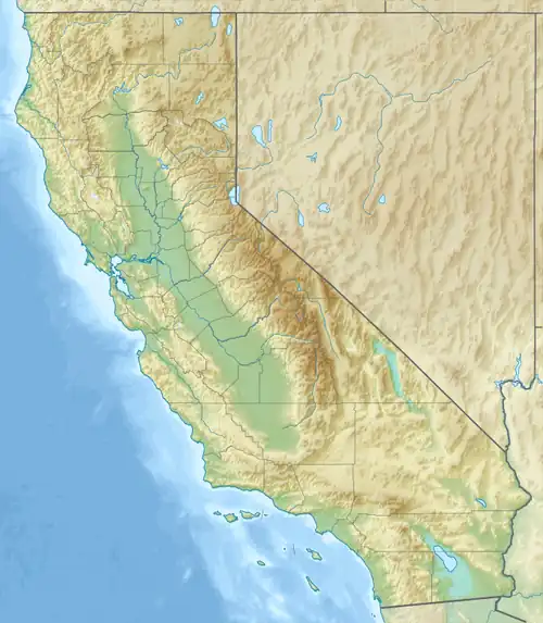 Crystal Hills Location of Crystal Hills in California[1] | |
| Highest point | |
| Elevation | 2,989 ft (911 m) |
| Geography | |
| Country | United States |
| State | California |
| Region | Mojave Desert |
| District(s) | Death Valley National Park, San Bernardino County |
| Range coordinates | 35°43′9.853″N 116°57′18.154″W / 35.71940361°N 116.95504278°W |
| Topo map | USGS Hidden Spring |
The Crystal Hills are a low mountain range in the Mojave Desert, west of the Owlshead Mountains partially in the extreme southwestern section of Death Valley National Park, California.[1] The Hidden Springs topographic map shows the highest elevation as more than 3080 feet, just outside of the National Park boundaries.
The small range is in northern San Bernardino County.[1]
The dominant Panamint Range lies west and north of the Crystal Hills.
References
- ^ a b c "Crystal Hills". Geographic Names Information System. United States Geological Survey, United States Department of the Interior. Retrieved 2009-05-04.