Cueva de Ágreda
Cueva de Ágreda | |
|---|---|
 | |
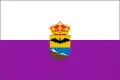 Flag 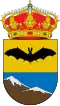 Coat of arms | |
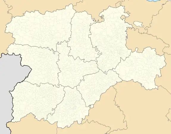
_Mapa.svg.png) Location of Cueva de Ágreda in Soria Province | |
 Cueva de Ágreda Location in Spain. 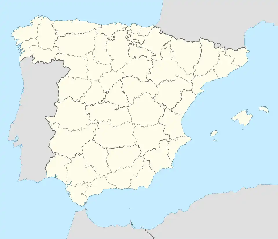 Cueva de Ágreda Cueva de Ágreda (Spain) | |
| Coordinates: 41°45′50″N 1°53′14″W / 41.76389°N 1.88722°W | |
| Country | |
| Autonomous community | |
| Province | |
| Municipality | Cueva de Ágreda |
| Area | |
• Total | 29 km2 (11 sq mi) |
| Elevation | 1,301 m (4,268 ft) |
| Population (2018)[1] | |
• Total | 65 |
| • Density | 2.2/km2 (5.8/sq mi) |
| Time zone | UTC+1 (CET) |
| • Summer (DST) | UTC+2 (CEST) |
| Website | Official website |
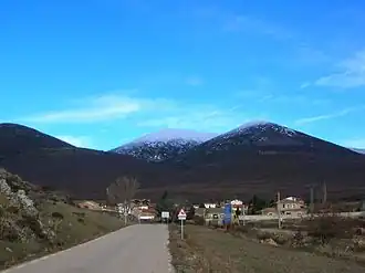
Cueva de Ágreda is a municipality located in the province of Soria, Castile and León, Spain. According to the 2004 census (INE), the municipality has a population of 95 inhabitants.
The nearest main town is Ólvega.
References
- ^ Municipal Register of Spain 2018. National Statistics Institute.
External links
Wikimedia Commons has media related to Cueva de Ágreda.
