Cypert, Arkansas
Cypert, Arkansas | |
|---|---|
 Cypert, Arkansas  Cypert, Arkansas | |
| Coordinates: 34°29′24″N 90°57′22″W / 34.49000°N 90.95611°W | |
| Country | United States |
| State | Arkansas |
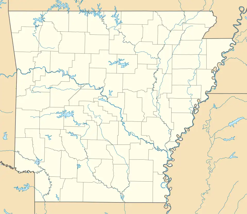
| County | Phillips |
| Elevation | 187 ft (57 m) |
| Time zone | UTC-6 (Central (CST)) |
| • Summer (DST) | UTC-5 (CDT) |
| Area code | 870 |
| GNIS feature ID | 57621[1] |
Cypert is an unincorporated community in Phillips County, Arkansas, United States. The community is located on Arkansas Highway 318, 5.2 miles (8.4 km) south-southwest of Marvell.
The Turner Historic District, which is listed on the National Register of Historic Places, is located in Cypert.[2]
References
Municipalities and communities of Phillips County, Arkansas, United States | ||
|---|---|---|
| Cities |  | |
| Town | ||
| Townships |
| |
| CDPs | ||
| Other unincorporated communities | ||