Dąbrowa Bolesławiecka
Dąbrowa Bolesławiecka | |
|---|---|
Village | |
 Dąbrowa Bolesławiecka | |
| Coordinates: 51°19′36″N 15°34′45″E / 51.32667°N 15.57917°E | |
| Country | |
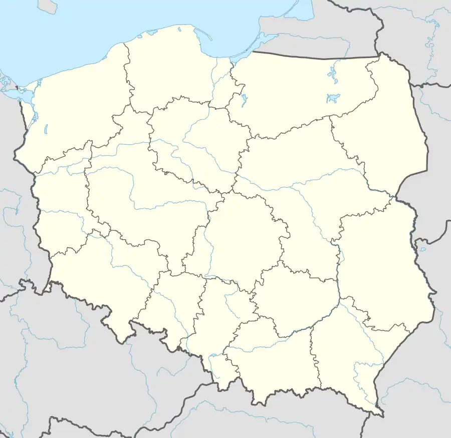
| Voivodeship | Lower Silesian |
| County | Bolesławiec |
| Gmina | Bolesławiec |
| Time zone | UTC+1 (CET) |
| • Summer (DST) | UTC+2 (CEST) |
| Vehicle registration | DBL |
Dąbrowa Bolesławiecka [dɔmˈbrɔva bɔlɛswaˈvjɛt͡ska] is a village in the administrative district of Gmina Bolesławiec, within Bolesławiec County, Lower Silesian Voivodeship, in south-western Poland.[1] It lies approximately 7 km (4 mi) north of Bolesławiec, and 105 km (65 mi) west of the regional capital Wrocław.
History
The village was mentioned as Dambrowa in a document from 1305, when it was part of fragmented Piast-ruled Poland.
During World War II, the Germans operated a forced labour subcamp of the Stalag VIII-B/344 prisoner-of-war camp in the village.[2]
Transport
The Polish A4 motorway and Voivodeship road 297 run through the village, and the A18 motorway runs nearby, northeast of the village.
References
- ^ "Główny Urząd Statystyczny" [Central Statistical Office] (in Polish). To search: Select "Miejscowości (SIMC)" tab, select "fragment (min. 3 znaki)" (minimum 3 characters), enter town name in the field below, click "WYSZUKAJ" (Search).
- ^ "Working Parties". Lamsdorf.com. Archived from the original on 29 October 2020. Retrieved 7 November 2021.
| Villages | ||
|---|---|---|
| Seat (not part of the gmina) | ||