D'Arros Island Airport
D'Arros Island Airport | |||||||||||
|---|---|---|---|---|---|---|---|---|---|---|---|
.jpg) | |||||||||||
| Summary | |||||||||||
| Airport type | Private | ||||||||||
| Serves | D'Arros Island, Seychelles | ||||||||||
| Elevation AMSL | 10 ft / 3 m | ||||||||||
| Coordinates | 05°25′00″S 53°17′45″E / 5.41667°S 53.29583°E | ||||||||||
| Map | |||||||||||
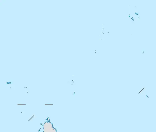 FSDA Location of the airport in Seychelles | |||||||||||
| Runways | |||||||||||
| |||||||||||
D'Arros Island Airport (ICAO: FSDA) is an airstrip serving D'Arros Island in the Seychelles. The airport is 255 kilometres (158 mi) west-southwest of the Seychelles capital of Victoria on Mahé Island.
The Darros non-directional beacon (Ident: DAR) is located on the field.[3]
After its purchase in 2012, the island and the neighbouring atoll were designated a nature reserve in 2014.[4][5]
Airlines and destinations
| Airlines | Destinations |
|---|---|
| Air Seychelles | Charter: Mahé |
See also
References
- ^ Airport information for D'Arros Island Airport at Great Circle Mapper.
- ^ Google Maps - D'Arros Island
- ^ "SkyVector: Flight Planning / Aeronautical Charts". skyvector.com. Retrieved 24 August 2018.
- ^ News, Private Island (3 August 2012). "Conservancy Founder Buys D'Arros Island from L'Oréal Heiress". Private Island News. Retrieved 21 June 2017.
{{cite web}}:|last1=has generic name (help) - ^ "Seychelles island of D'Arros becomes an official nature reserve". Seychelles News Agency. Retrieved 21 June 2017.
External links
- OurAirports - D'Arros Island
- FallingRain - D'Arros Island Airport
- Accident history for D'Arros Island Airport at Aviation Safety Network