Dalystown
Dalystown
Baile Uí Dhálaigh | |
|---|---|
Village | |
 Dalystown School | |
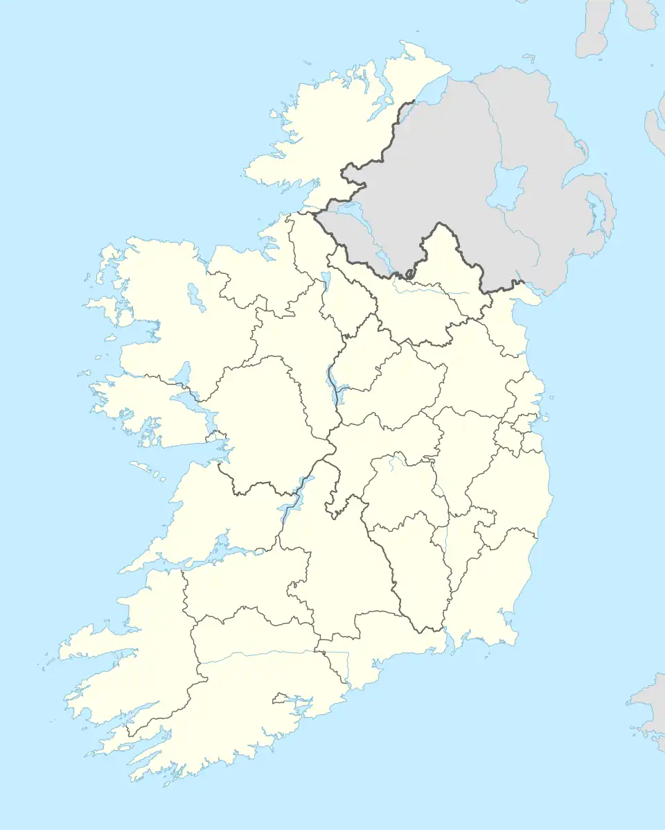 Dalystown Location in Ireland | |
| Coordinates: 53°26′24″N 7°22′12″W / 53.440061°N 7.369999°W | |
| Country | Ireland |
| Province | Leinster |
| County | County Westmeath |
| Time zone | UTC+0 (WET) |
| • Summer (DST) | UTC-1 (IST (WEST)) |
| Irish Grid Reference | N503438 |
Dalystown (Irish: Baile Uí Dhálaigh)[1] is a village in Carrick, County Westmeath, Ireland. It is located in the south of the county on the N52 road, to the north of Tyrrellspass and Rochfortbridge.[2][3]
The village has a national school and a public house. Lough Ennell is to the north of the village.
See also
References
- ^ "Baile Uí Dhálaigh/Dalystown". Placenames Database of Ireland (logainm.ie). Retrieved 18 October 2021.
- ^ "Dalystown Townland, Co. Westmeath". www.townlands.ie. Retrieved 10 April 2020.
- ^ "Dalystown | The Schools' Collection". dúchas.ie. Retrieved 10 April 2020.
