Damascus, Illinois
Damascus, Illinois | |
|---|---|
 Damascus, Illinois  Damascus, Illinois | |
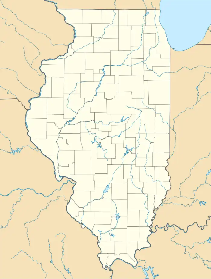
| Coordinates: 42°22′20″N 89°42′22″W / 42.37222°N 89.70611°W | |
| Country | United States |
| State | Illinois |
| County | Stephenson |
| Elevation | 764 ft (233 m) |
| Time zone | UTC-6 (Central (CST)) |
| • Summer (DST) | UTC-5 (CDT) |
| Area codes | 815 & 779 |
| GNIS feature ID | 422602[1] |
Damascus is an unincorporated community in Harlem and Waddams townships, Stephenson County, Illinois. Damascus is located at the junction of County Routes 5 and 26, 3.75 miles (6.04 km) west of Cedarville.[2]
History
Damascus was laid out in 1837.[3] A post office was established in 1854, and remained in operation until 1906.[4]
References
- ^ a b U.S. Geological Survey Geographic Names Information System: Damascus, Illinois
- ^ Stephenson County General Highway Map (PDF) (Map). Illinois Department of Transportation. 2011. Archived from the original (PDF) on April 3, 2012. Retrieved November 9, 2011.
- ^ Callary, Edward (September 29, 2008). Place Names of Illinois. University of Illinois Press. p. 86. ISBN 978-0-252-09070-7.
- ^ "Stephenson County". Jim Forte Postal History. Archived from the original on January 31, 2016. Retrieved November 3, 2015.
Municipalities and communities of Stephenson County, Illinois, United States | ||
|---|---|---|
| City |  | |
| Town | ||
| Villages | ||
| Townships | ||
| CDP | ||
| Other communities | ||
| Footnotes | ‡This populated place also has portions in an adjacent county or counties | |