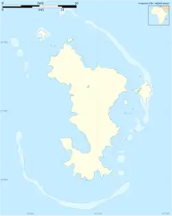
Dapani
Dapani | |
|---|---|
Village | |
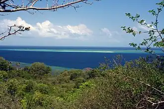 Saziley Point, east of Dapani | |
 Dapani | |
| Coordinates: 12°58′17″S 45°9′39″E / 12.97139°S 45.16083°E | |
| Country | |
| Overseas Territory | Mayotte |
| Commune | Bandrele |
| Area | |
• Total | 3.646 km2 (1.408 sq mi) |
Dapani is a village in the commune of Bandrele on Mayotte. It is located near the Pointes et plages de Saziley et Charifou protected area on the south-east of Mayotte. The protected area includes Dapani Beach and mangroves, and is a notable bird habitat known for its "botanical trail" through the mangroves.