Darwin Hills
| Darwin Hills | |
|---|---|
 Ophir Mountain, the highest point in Darwin Hills. | |
| Highest point | |
| Peak | Ophir Mountain |
| Elevation | 1,832 m (6,010 ft) |
| Geography | |
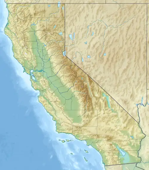 Darwin Hills Location of Darwin Hills in California[1]  Darwin Hills Darwin Hills (the United States) | |
| Country | United States |
| State | California |
| District | Inyo County |
| Range coordinates | 36°17′24.787″N 117°35′56.247″W / 36.29021861°N 117.59895750°W |
| Topo map | USGS Darwin |
The Darwin Hills are a mountain range in Inyo County, California,[1] situated near the Argus Range, Panamint Range, and Inyo Mountains. Darwin Falls and the Darwin Falls Wilderness are located in the Darwin Hills. They were named after Dr. Darwin French, a local rancher, miner and explorer. At 6,010 feet (1,832 m), the summit of Ophir Mountain is the highest point of Darwin Hills.[2]
See also
- North American desert flora
- Protected areas of the Mojave Desert
References
- ^ a b "Darwin Hills". Geographic Names Information System. United States Geological Survey, United States Department of the Interior. Retrieved October 12, 2011.
- ^ "Ophir Mountain". Geographic Names Information System. United States Geological Survey, United States Department of the Interior. Retrieved October 12, 2011.
External links
 Media related to Darwin Hills at Wikimedia Commons
- Official Darwin Falls Wilderness Area website
- Bureau of Land Management: Darwin Falls Wilderness MAP
- Darwin Falls Wilderness photographs
- Darwin Falls Wilderness – Wilderness Institute