Davisville, Ohio
Davisville, Ohio | |
|---|---|
 Davisville, Ohio Location of Davisville, Ohio | |
| Coordinates: 39°05′52″N 82°36′44″W / 39.09778°N 82.61222°W | |
| Country | United States |
| State | Ohio |
| Counties | Jackson |
| Elevation | 738 ft (225 m) |
| Time zone | UTC-5 (Eastern (EST)) |
| • Summer (DST) | UTC-4 (EDT) |
| ZIP code | 45692 |
| Area code | 740 |
| GNIS feature ID | 1048651[1] |
Davisville is an unincorporated community in Coal Township, Jackson County, Ohio, United States. It is located south of Coalton along Ohio State Route 93, at 39°05′52″N 82°36′44″W / 39.09778°N 82.61222°W.[2][3]
References
- ^ a b "US Board on Geographic Names". United States Geological Survey. October 25, 2007. Retrieved January 3, 2020.
- ^ U.S. Geological Survey Geographic Names Information System: Davisville, Ohio
- ^ Rand McNally. The Road Atlas '06. Chicago: Rand McNally, 2006, 78.
Municipalities and communities of Jackson County, Ohio, United States | ||
|---|---|---|
| Cities | 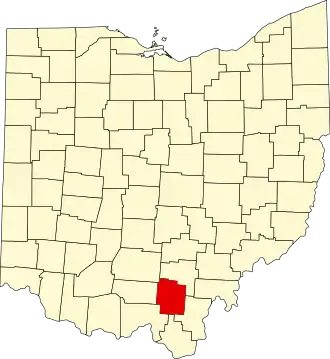 | |
| Villages | ||
| Townships | ||
| Unincorporated communities |
| |