Denby Bottles
| Denby Bottles | |
|---|---|
 Derby Road going past Denby Bottles | |
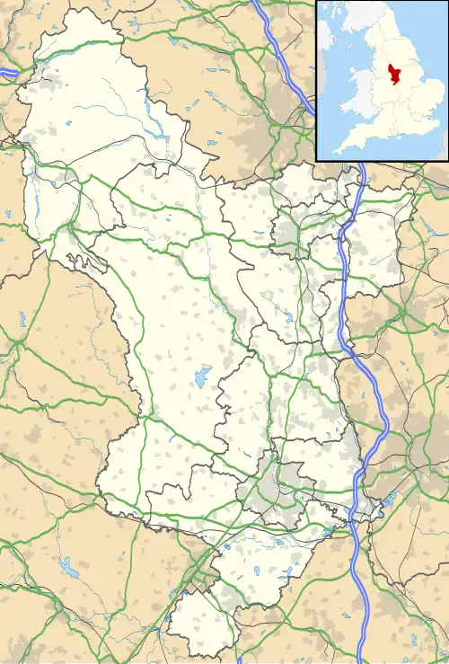 Denby Bottles Location within Derbyshire | |
| OS grid reference | SK381463 |
| District | |
| Shire county | |
| Region | |
| Country | England |
| Sovereign state | United Kingdom |
| Post town | RIPLEY |
| Postcode district | DE5 |
| Police | Derbyshire |
| Fire | Derbyshire |
| Ambulance | East Midlands |
Denby Bottles is a settlement in Derbyshire, England.[1] It is located on the B6179 road in Denby. Denby Bottles Methodist Church is in Danesby Crescent. Each of the cottages have a segment of garden which is across the road and the brook.
Denby Bottles is situated to the right- hand side of the B6179 - coming from Kilburn Toll Bar - and is the Danesby Rise area. The Ordnance Survey Map of 1914 (surveyed 1879, revised 1913 and re-levelled 1913–14) clearly prints 'Denby Bottles' to the left-hand side of the houses depicted. The Bottle Brook houses are situated at the end of Ryknield Road which leaves the B6179 at Denby Smithy Houses.
References
- ^ Bisknell, Eddie (24 September 2020). "Big development on green belt land set for approval". Derbyshire Live. Retrieved 19 May 2024.