Dennis Bay Historic District
Dennis Bay Historic District | |
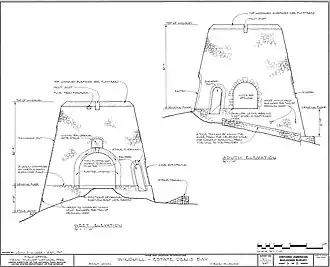 Windmill plan | |
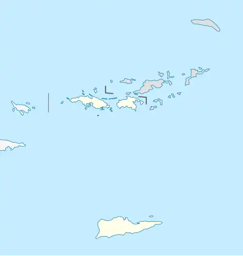 | |
| Location | NE of Cruz Bay off North Shore Rd., Virgin Islands National Park |
|---|---|
| Coordinates | 18°21′08″N 64°46′31″W / 18.352285°N 64.775415°W |
| Area | 20 acres (8.1 ha) |
| Built | 1728 |
| MPS | Virgin Islands National Park MRA |
| NRHP reference No. | 81000095[1] |
| Added to NRHP | July 23, 1981 |
Dennis Bay Historic District is a historic district which was listed on the National Register of Historic Places in 1981.[1] It is located northeast of Cruz Bay off North Shore Rd., in Virgin Islands National Park. The plantation was claimed and cleared by 1728 to operate as a sugar cane plantation.[2]
References
- ^ a b "National Register Information System". National Register of Historic Places. National Park Service. November 2, 2013.
- ^ "National Register of Historic Places Inventory/Nomination: Dennis Bay Historic District". National Park Service. Retrieved June 2, 2019. With accompanying five photos from 1976
External links
 Media related to Denis Bay Historic District at Wikimedia Commons
| Districts |
| .svg.png) |
|---|---|---|
| Other properties |
| |
| Footnotes | † This entry has been removed from the register. | |