Dimbulagala
| Dimbulagala | |
|---|---|
| Gunner's Quoin | |
 | |
| Highest point | |
| Elevation | 534 m (1,752 ft) |
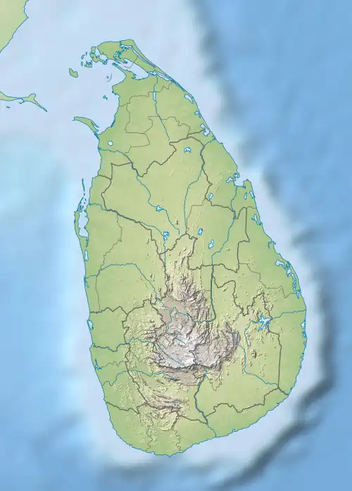
| Coordinates | 7°51′36″N 81°8′37″E / 7.86000°N 81.14361°E |
| Geography | |
 Dimbulagala | |
Dimbulagala also known as Gunner's Quoin or Gunner's Rock during the British colonial period, is a rock formation in the Polonnaruwa District of Sri Lanka. By the time anthropologist Charles Gabriel Seligman visited the location in 1911, a cave within the rock had become a refuge of the indigenous Vedda people. During the 12th century AD, The Sinhalese people had constructed a Buddhist monastery within the rock formation. The Dimbulagala Raja Maha Vihara monastery was restored in the 1950s. The villagers around the rock are of mixed Vedda and Sinhalese ancestry.

A panoramic photo over the Dimbulagala peak from "Sath Mahal Prasadaya".