Dingaanstat
Dingaanstat mission | |
|---|---|
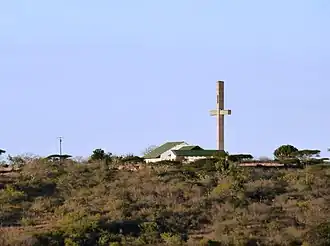 Dingaanstat Mission Station | |
 Dingaanstat mission  Dingaanstat mission | |
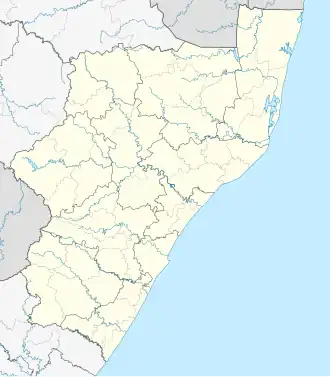
| Coordinates: 28°26′06″S 31°16′44″E / 28.435°S 31.279°E | |
| Country | South Africa |
| Province | KwaZulu-Natal |
| District | Zululand |
| Municipality | Ulundi |
| Time zone | UTC+2 (SAST) |
Dingaanstat is the 'stat' or village of Dingaan (Dingane, Udingane). The village is known to the Zulu as Umgungundlovu, and was under Zulu rule from 1795 until 1840. Now a mission station of the Dutch Reformed Church, it is situated between Melmoth and Babanango.[1]
References
- ^ Raper, Peter E. (1987). Dictionary of Southern African Place Names. Internet Archive. p. 139. Retrieved 28 August 2013.
External links
 Media related to Dingaanstat Sendingstasie at Wikimedia Commons
Municipalities and communities of Zululand District Municipality, KwaZulu-Natal | ||
|---|---|---|
District seat: Ulundi | ||
| Ulundi | .svg.png) | |
| Nongoma | ||
| Abaqulusi | ||
| uPhongolo | ||
| EDumbe | ||