Dio-Gare
Dio-Gare | |
|---|---|
Commune and village | |
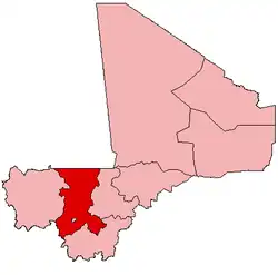
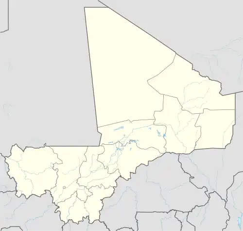 Dio-Gare Location in Mali | |
| Coordinates: 12°48′30″N 8°14′50″W / 12.80833°N 8.24722°W | |
| Country | |
| Region | Koulikoro Region |
| Cercle | Kati Cercle |
| Area | |
• Total | 180 km2 (70 sq mi) |
| Population (2009 census)[1] | |
• Total | 8,161 |
| • Density | 45/km2 (120/sq mi) |
| Time zone | UTC+0 (GMT) |
Dio-Gare is a village and rural commune in the Cercle of Kati in the Koulikoro Region of south-western Mali. The commune has an area of 180 km2 and contains 7 villages.[2] At the time of the 2009 census the commune had a population of 8,161.[1] The main village, Dio-Gare, is 20 km northwest of Kati, the chef-lieu of the cercle. The Dakar–Niger Railway passes through the village.
References
- ^ a b Resultats Provisoires RGPH 2009 (Région de Koulikoro) (PDF) (in French), République de Mali: Institut National de la Statistique, archived from the original (PDF) on 2011-07-22
{{citation}}: CS1 maint: publisher location (link). - ^ Communes de la Région de Koulikoro (PDF) (in French), Ministère de l’administration territoriale et des collectivités locales, République du Mali, archived from the original (PDF) on 2012-03-09.
External links
- Plan de Sécurité Alimentaire Commune Rurale de Dio-gare 2008-2012 (PDF) (in French), Commissariat à la Sécurité Alimentaire, République du Mali, USAID-Mali, 2008, archived from the original (PDF) on 2012-09-11, retrieved 2012-06-10.