Dirkou Airport
Dirkou Airport | |||||||||||
|---|---|---|---|---|---|---|---|---|---|---|---|
 | |||||||||||
| Summary | |||||||||||
| Airport type | Public | ||||||||||
| Serves | Dirkou | ||||||||||
| Elevation AMSL | 1,273 ft / 388 m | ||||||||||
| Coordinates | 18°58′10″N 12°52′10″E / 18.96944°N 12.86944°E | ||||||||||
| Map | |||||||||||
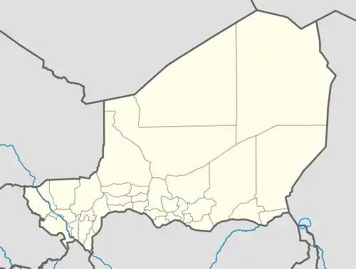 DRZD Location of the airport in Niger | |||||||||||
| Runways | |||||||||||
| |||||||||||
Source: Google Maps[1] | |||||||||||
Dirkou Airport (ICAO: DRZD) is an airport serving the isolated Saharan outpost of Dirkou, Niger. It is 2 kilometres (1.2 mi) southwest of the city center. In early 2018 the airport saw extensive expansion during construction of a base for Central Intelligence Agency drone operations.[2][3]
See also
References
- ^ Google Maps - Dirkou
- ^ The New York Times (September 10, 2018). "How a C.I.A. Drone Base Grew in Niger's Desert". YouTube. Archived from the original on 2021-12-15.
- ^ Schmitt, Eric; Koettl, Christoph (8 March 2021). "Remote C.I.A. Base in the Sahara Steadily Grows". The New York Times. Archived from the original on March 9, 2021.
External links