Disputanta, Kentucky
Disputanta | |
|---|---|
 The old Post Office in Disputanta, Kentucky | |
| Nickname: Clear Creek | |
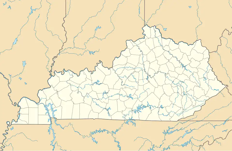 Disputanta Location within the state of Kentucky  Disputanta Disputanta (the United States) | |
| Coordinates: 37°29′18″N 84°15′27″W / 37.48833°N 84.25750°W | |
| Country | United States |
| State | Kentucky |
| County | Rockcastle |
| Elevation | 1,020 ft (310 m) |
| Time zone | UTC-5 (Eastern (EST)) |
| • Summer (DST) | UTC-4 (EDT) |
| ZIP codes | 40456 |
| Area code | 606 |
| GNIS feature ID | 511822[1] |
Disputanta is an unincorporated community located in Rockcastle County, Kentucky, United States. It is located on Kentucky Route 1787.
The name Disputanta is said to have arisen from a dispute over the name of the new defunct post office.[2] Many residents of the area refer to the area by Clear Creek.
Anglin Falls, a trail apart of the John B. Stephenson Memorial Forest, is a common attraction for hikers as it boasts a 75 foot tall waterfall.
References
- ^ a b U.S. Geological Survey Geographic Names Information System: Disputanta, Kentucky
- ^ Rennick, Robert M. (1987). Kentucky Place Names. University Press of Kentucky. p. 83. ISBN 0813126312. Retrieved April 28, 2013.
Municipalities and communities of Rockcastle County, Kentucky, United States | ||
|---|---|---|
| Cities |  | |
| Unincorporated communities | ||