Dober (Kremnitz)
| Dober | |
|---|---|
 | |
| Location | |
| Country | Germany |
| States | Thuringia and Bavaria |
| Physical characteristics | |
| Source | |
| • location | in the Franconian Forest, south of the Wetzstein and southwest of Brennersgrün, a district of Lehesten) |
| • elevation | about 688 metres (2,257 ft) |
| Mouth | |
• location | Northwest of Lahm, a district of Wilhelmsthal into the Kremnitz |
• coordinates | 50°21′08″N 11°23′05″E / 50.3521°N 11.3848°E |
• elevation | 422 metres (1,385 ft) |
| Length | 11.8 km (7.3 mi) |
| Basin features | |
| Progression | Kremnitz→ Kronach→ Haßlach→ Rodach→ Main→ Rhine→ North Sea |
| Tributaries | |
| • left | Dorfbach |
| • right | Schwarze Sutte |
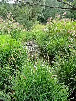
Dober, also called Doberbach, is a river of Thuringia and Bavaria, Germany.
The Dober is about 12 kilometres (7.5 mi) long and is a left tributary of the Kremnitz. Its source is in the Franconian Forest, south of the Wetzstein and southwest of Brennersgrün, a district of Lehesten. Northwest of Lahm, a district of Wilhelmsthal, the Dober flows into the Kremnitz.
Tributaries of the Dober are the Schwarze Sutte from the right and the Dorfbach (in Tschirn) from the left.
See also