Doddaharve
Doddaharve | |
|---|---|
village | |
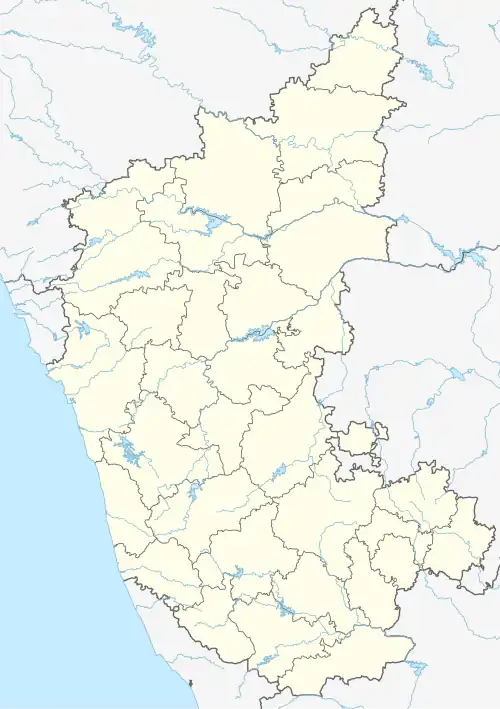 Doddaharve Location in Karnataka, India  Doddaharve Doddaharve (India) | |
| Coordinates: 12°23′38″N 75°57′18″E / 12.393910°N 75.954870°E | |
| Country | |
| State | Karnataka |
| District | Mysore |
| Talukas | Piriyapatna |
| Government | |
| • Body | Gram panchayat |
| Population (2001) | |
• Total | 5,064 |
| Languages | |
| • Official | Kannada |
| Time zone | UTC+5:30 (IST) |
| ISO 3166 code | IN-KA |
| Vehicle registration | KA 45 |
| Website | karnataka |
Doddaharve is a village in the southern state of Karnataka, India.[1][2] It is located 8 km from Bylakuppe.
Demographics
As of 2001 India census, Doddaharve had a population of 5064 with 4221 males and 843 females.[1]
See also
References
- ^ a b Village code= 2761600 "Census of India : Villages with population 5000 & above". Registrar General & Census Commissioner, India. Archived from the original on 8 December 2008. Retrieved 18 December 2008.
- ^ "Yahoomaps India :". Retrieved 18 December 2008. Doddaharve, Mysore, Karnataka
External links
- "Mysuru District Information". Mysore.nic.in. Retrieved 1 May 2016.